Ruins of 1931 earthquake now part of geopark in Xinjiang
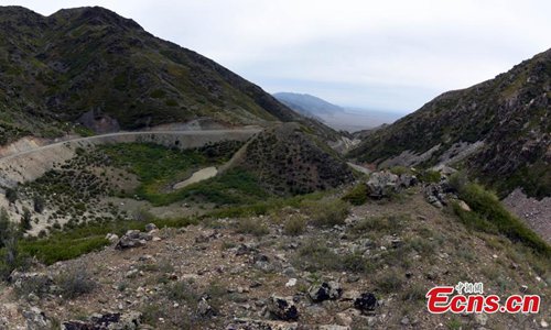
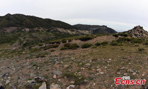
The ruins of a magnitude 8 earthquake that hit Fuyun County, Northwest China’s Xinjiang Uygur Autonomous Region on August 11, 1931, as photographed on Aug. 20, 2019. A 159-kilometer surface rupture along the Koktokay-Ertai fault zone is today part of the Koktokay National Geopark. (Photo: China News Service/Sun Zifa)
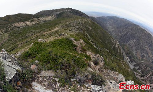
The ruins of a magnitude 8 earthquake that hit Fuyun County, Northwest China’s Xinjiang Uygur Autonomous Region on August 11, 1931, as photographed on Aug. 20, 2019. A 159-kilometer surface rupture along the Koktokay-Ertai fault zone is today part of the Koktokay National Geopark. (Photo: China News Service/Sun Zifa)
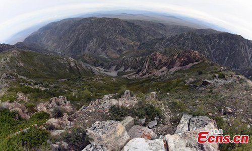
The ruins of a magnitude 8 earthquake that hit Fuyun County, Northwest China’s Xinjiang Uygur Autonomous Region on August 11, 1931, as photographed on Aug. 20, 2019. A 159-kilometer surface rupture along the Koktokay-Ertai fault zone is today part of the Koktokay National Geopark. (Photo: China News Service/Sun Zifa)
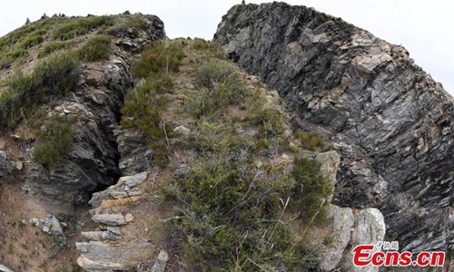
The ruins of a magnitude 8 earthquake that hit Fuyun County, Northwest China’s Xinjiang Uygur Autonomous Region on August 11, 1931, as photographed on Aug. 20, 2019. A 159-kilometer surface rupture along the Koktokay-Ertai fault zone is today part of the Koktokay National Geopark. (Photo: China News Service/Sun Zifa)
The ruins of a magnitude 8 earthquake that hit Fuyun County, Northwest China’s Xinjiang Uygur Autonomous Region on August 11, 1931, as photographed on Aug. 20, 2019. A 159-kilometer surface rupture along the Koktokay-Ertai fault zone is today part of the Koktokay National Geopark. (Photo: China News Service/Sun Zifa)

Photo taken on Aug. 20, 2019 shows a marmot roaming the ruins of a magnitude 8 earthquake that hit Fuyun County, Northwest China’s Xinjiang Uygur Autonomous Region on August 11, 1931. (Photo: China News Service/Sun Zifa)