HOME >> BUSINESS
Nanjing expo features latest in remote sensing, drones
Source:VCG Published: 2019/10/16 20:58:40
New view of technology
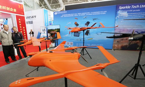
A mapping drone is on display at the 9th China Surveying Mapping and Geoinformation Technology Equipment Expo in Nanjing, East China's Jiangsu Province on Wednesday. Drones, unmanned ships, satellite applications, remote-sensing images, solar cells, telescopes and thousands of the latest products with state-of-the-art technology in the surveying and mapping industry are being displayed at the expo. Photo:VCG
Newspaper headline: New view of technology
Posted in: INDUSTRIES,MARKETS