Indian navigation satellite system approved by IMO for use by merchant ships
Source: Xinhua Published: 2020/11/21 12:20:36
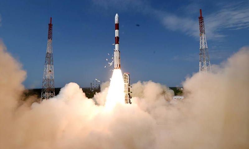
The state-owned Indian Space Research Organization's (ISRO) most trusted rocket Polas Satellite Launch Vehicle (PSLV) lifts off from Satish Dhawan Space Centre at Sriharikota, India, with the Cartosat-2 earth observation satellite and 30 other nano satellites on June 23, 2017. India successfully launched 31 satellites, including an earth observation satellite, in a single space mission Friday from the southern spaceport of Sriharikota.File photo:Xinhua
The Indian Regional Navigation Satellite System (IRNSS) can be used by merchant vessels for navigating ships within the Indian ocean, the Indian Ministry of Shipping's Mumbai office said late Friday.
The area for navigation covers 50 degrees N latitude, 55 degrees E longitude, 5 degrees S latitude and 110 degrees E longitude, which is approximately up to 1,500 km from the Indian boundary.
The IRNSS, an independent regional navigation satellite system, is similar to GPS and GLONASS and has been approved by the International Maritime Organisation (IMO) as a component of the World-Wide Radio Navigation System to provide accurate position information service to assist in the navigation of ships in the Indian ocean.
Details of the tests carried out on merchant ships with regard to the accuracy of the system have been included in a report prepared by the Indian Space Research Organisation (ISRO), which was submitted to IMO for consideration at its Maritime Safety Committee meeting held earlier this month.
Posted in: CENTRAL & SOUTH ASIA,WORLD FOCUS