Huawei, Chang Guang agree to promote satellite remote sensing
Source:Global Times Published: 2020/6/10 12:19:33
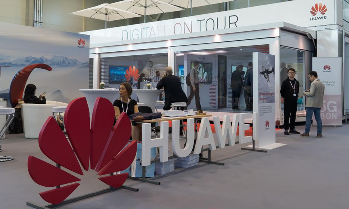
Photo taken on Nov. 20, 2019 shows Huawei's exhibition booth during a press preview for the 2019 World 5G Convention in Beijing, capital of China.(Xinhua/Li Xin)
Chinese tech giant Huawei and Chang Guang Satellite Technology Co signed an agreement on Tuesday to jointly build a digital, intelligent satellite remote sensing applications technology system and create world-leading technology and products in the field.
The two vowed to utilize one another's advantages and collaborate on information and communications technology (ICT) infrastructure and cloud computing, as well as satellite remote sensing data, products and integrated data service platforms.
Founded on December 1, 2014, Chang Guang, based in Northeast China's Jilin Province, is the first commercial remote sensing satellite company in China,according to its official website.
The firm has successfully launched 16 "Jilin-1" satellites into orbit and built the largest domestic commercial remote sensing satellite constellation, which can respond to emergency missions as quickly as in 11 minutes. Chang Guang has provided various technical services and solutions including satellite data, system software, and hardware equipment for government departments, universities, research institutes, enterprises and public users at all levels.
Huawei will give full play to its technological advantages in cloud computing, AI, 5G and big data, and will support Chang Guang's information capabilities, provide comprehensive technical support and work with its new partner to create more intelligent, convenient and advanced satellite remote sensing services, said Hou Jinlong, president of Huawei Cloud & Computing BG.
Huawei has been focusing on improving its informatization research and development capabilities in the field of remote sensing technology over recent years, and has several times undertaken large-scale cooperation in the field of satellite remote sensing. Last year, Huawei cooperated with both the Satellite Environmental Application Center of the Ministry of Ecology and Environment and the National Satellite Remote Sensing Application Center of the Ministry of Natural Resources.
Posted in: COMPANIES