PHOTO / CHINA
View of geopark in Zhangye, NW China's Gansu
Published: Jul 09, 2026 09:16 AM
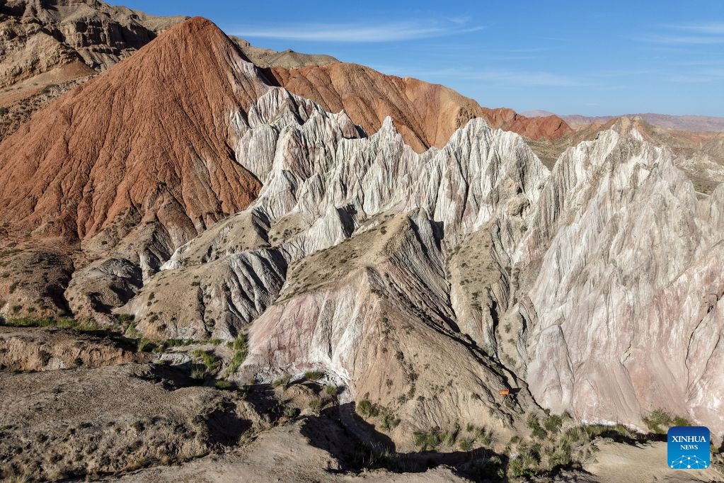
An aerial drone photo taken on July 7, 2026 shows the view of a geopark in Sunan Yugur Autonomous County of Zhangye, northwest China's Gansu Province. The geopark covers an area of 17.34 square kilometers. The park features unique landforms with towering peaks, rugged mountains, jagged rock pillars, and vibrant colors. (Photo: Xinhua)
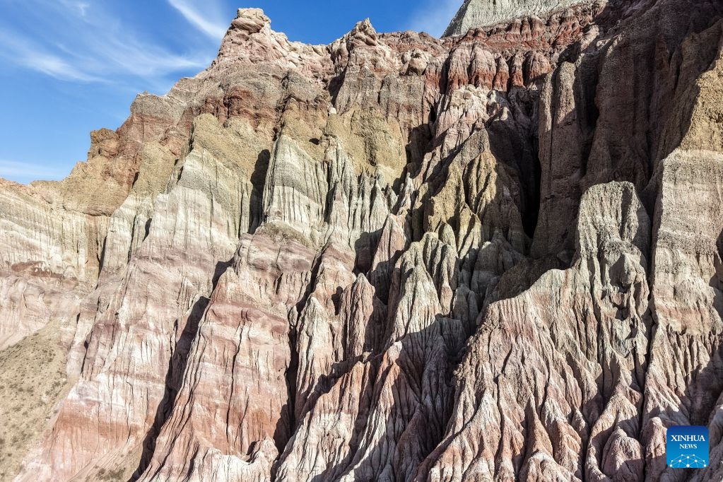
An aerial drone photo taken on July 7, 2026 shows the view of a geopark in Sunan Yugur Autonomous County of Zhangye, northwest China's Gansu Province. The geopark covers an area of 17.34 square kilometers. The park features unique landforms with towering peaks, rugged mountains, jagged rock pillars, and vibrant colors. (Photo: Xinhua)
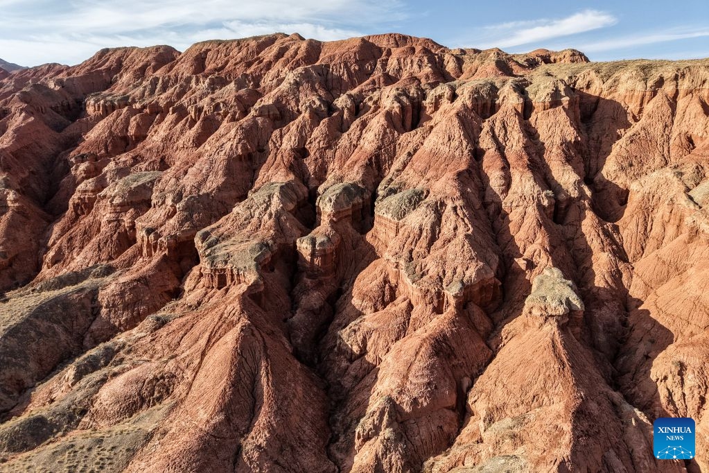

An aerial drone photo taken on July 7, 2026 shows the view of a geopark in Sunan Yugur Autonomous County of Zhangye, northwest China's Gansu Province. The geopark covers an area of 17.34 square kilometers. The park features unique landforms with towering peaks, rugged mountains, jagged rock pillars, and vibrant colors. (Photo: Xinhua)
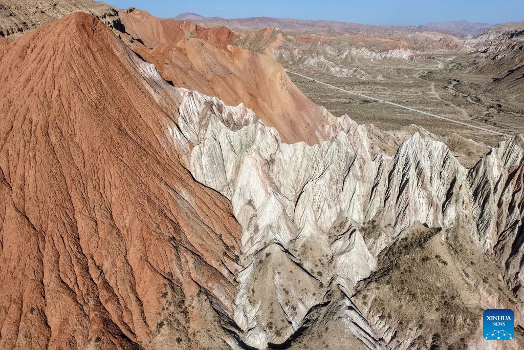
An aerial drone photo taken on July 7, 2026 shows the view of a geopark in Sunan Yugur Autonomous County of Zhangye, northwest China's Gansu Province. The geopark covers an area of 17.34 square kilometers. The park features unique landforms with towering peaks, rugged mountains, jagged rock pillars, and vibrant colors. (Photo: Xinhua)


An aerial drone photo taken on July 7, 2026 shows the view of a geopark in Sunan Yugur Autonomous County of Zhangye, northwest China's Gansu Province. The geopark covers an area of 17.34 square kilometers. The park features unique landforms with towering peaks, rugged mountains, jagged rock pillars, and vibrant colors. (Photo: Xinhua)

An aerial drone photo taken on July 7, 2026 shows the view of a geopark in Sunan Yugur Autonomous County of Zhangye, northwest China's Gansu Province. The geopark covers an area of 17.34 square kilometers. The park features unique landforms with towering peaks, rugged mountains, jagged rock pillars, and vibrant colors. (Photo: Xinhua)


An aerial drone photo taken on July 7, 2026 shows the view of a geopark in Sunan Yugur Autonomous County of Zhangye, northwest China's Gansu Province. The geopark covers an area of 17.34 square kilometers. The park features unique landforms with towering peaks, rugged mountains, jagged rock pillars, and vibrant colors. (Photo: Xinhua)

An aerial drone photo taken on July 7, 2026 shows the view of a geopark in Sunan Yugur Autonomous County of Zhangye, northwest China's Gansu Province. The geopark covers an area of 17.34 square kilometers. The park features unique landforms with towering peaks, rugged mountains, jagged rock pillars, and vibrant colors. (Photo: Xinhua)


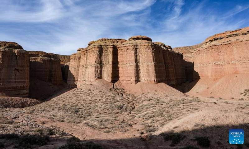
This photo taken on July 7, 2026 shows the view of a geopark in Sunan Yugur Autonomous County of Zhangye, northwest China's Gansu Province. The geopark covers an area of 17.34 square kilometers. The park features unique landforms with towering peaks, rugged mountains, jagged rock pillars, and vibrant colors. (Photo: Xinhua)

This photo taken on July 7, 2026 shows the view of a geopark in Sunan Yugur Autonomous County of Zhangye, northwest China's Gansu Province. The geopark covers an area of 17.34 square kilometers. The park features unique landforms with towering peaks, rugged mountains, jagged rock pillars, and vibrant colors. (Photo: Xinhua)