China unveils AI systems that cut mineral exploration time from six months to one week
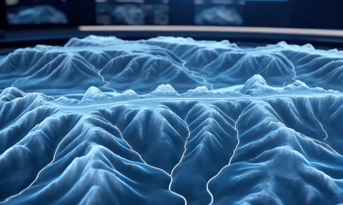
Photo: Screenshot from CCTV News
China has unveiled two mineral exploration and geological mapping systems powered by AI. The launch marks their global debut and aims to make geological workflows more efficient and intelligent.The two systems, AI-GeoMapping and AI-OreSeeking, were released by the China Geological Survey under the Ministry of Natural Resources at the 28th China Mining Conference and Exhibition, which concluded in North China's Tianjin Municipality on Saturday.
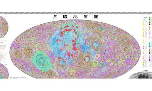
AI-GeoMapping is a new approach to regional geological surveying that integrates big data, AI and other modern information technologies into geological mapping.
At its core, the system uses data and knowledge to intelligently integrate and analyze multi-source data collected from space, the air and the ground, while embedding AI-generated geological mapping into the entire surveying process. It also transforms the way geological data is managed, field data is collected, geological information is analyzed, maps are compiled and survey results are presented.
The AI-GeoMapping system is designed to cover the full process from preliminary research and data collection to map generation and map compilation. It can identify geological bodies with an overall accuracy exceeding 90 percent and improves the efficiency of data processing, integrated analysis, and geological map compilation by more than 50 percent.
The system has been trialed using nearly 100 map sheets at a scale of 1:50,000 across Qinghai, Xizang, Xinjiang, Fujian and other provincial-level regions in China. The system has also been used in countries such as Morocco, Saudi Arabia, and Laos.
Traditionally, mineral prospecting has relied heavily on experts to analyze data from multiple sources. The AI-OreSeeking system integrates geoscience data, geological knowledge, exploration models and more than 200 data-processing and analysis algorithms used in mineral exploration to automate the prospecting workflow. This shifts the process from experience-driven to AI-enabled exploration.
The system draws on millions of entries in geological knowledge graphs, covering geological settings, mineralization patterns and deposit models, as well as algorithms for processing and analyzing geological, gravity, magnetic, electrical, geochemical and remote-sensing data.
The system can gather and integrate multi-source geoscience data, interpret and extract key mineralization information, delineate favorable prospecting areas, identify exploration targets, generate three-dimensional geological structure models, resource prediction assessments, and batches of professional maps in batches, and produce evaluation reports.
Users can choose among expert-led, automated and human-AI collaborative modes, depending on the needs of a particular exploration project. By combining these tools, the system can narrow down areas with greater mineral potential and help geologists determine where to carry out further exploration, including drilling.
Test data from AI-OreSeeking shows that mineral prediction and evaluation that once took half a year can now be completed in just one week.
Taking gold exploration in the west Qinling region as an example, the system completed multi-source data processing and prediction evaluation for 32 1:50,000-scale map sheets in just five days, quickly identifying and delineating two gold exploration targets and four favorable areas for further prospecting, demonstrating its capacity for large-scale operations.
The system can be used in the exploration and assessment of a range of solid minerals, including gold, iron, copper, aluminum, lithium, cobalt, nickel, lead, zinc, chromium, potash and uranium.
The system incorporates decades of mineral exploration expertise from the CGS and provides five core functions: geological and mineral data management, knowledge management, data processing and interpretation, AI-powered prediction and assessment, and a large-scale AI model for mineral exploration. Together, these capabilities support an integrated, end-to-end workflow for mineral exploration prediction, according to Qu.
So far, it has been trialed in more than 100 projects across over 10 provincial-level regions in China, including Xizang, Xinjiang, Fujian, Shandong and Inner Mongolia, said Qu.
The two systems, independently developed by the CGS, are expected to provide a technical reference for the intelligent transformation of global mineral exploration and inject new momentum into global geological survey technological innovation, said Ren Xiaomai, an official with the CGS, at the Saturday conference.
RELATED ARTICLES