China's Tianqin 2 to test key technology for next-generation gravity satellite
By Liu Caiyu Source: Global Times Published: 2020/8/19 18:02:34
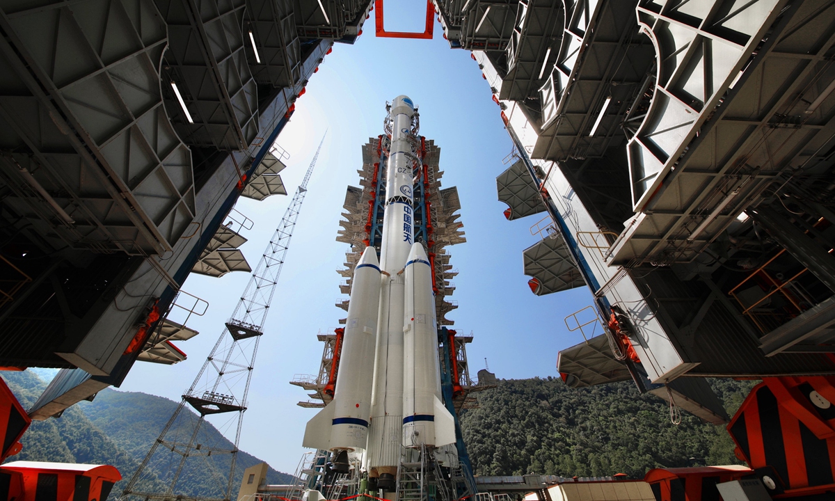
BeiDou-3 Navigation Satellite System
The second phase of China's Tianqin project will verify the key technologies for next-generation gravity satellites, which will serve to carry out precise measurements of Earth's gravity, helping humankind tackle climate change and natural disasters, experts said.
One of the core technologies that the "Tianqin 2" satellite has to verify is the "orbit-intersatellite laser interferometry," the key technology of the next generation of gravity satellites in the world, Ye Xianji from the Tianqin Research Center affiliated with Sun Yat-sen University was quoted by the Science and Technology Daily as saying at a conference in Guangzhou recently.
"China is on the same starting line as the US and Germany in this regard, as every country is accelerating in their breakthrough of next-generation gravity satellite technology and in competition for the leading position," said academician Xu Houze from the Chinese Academy of Sciences.
Li Miao, director of the physics department of the Southern University of Science and Technology in Shenzhen, told the Global Times on Wednesday that gravity satellites can measure changes in the Earth's gravitational field with great sensitivity, helping scientists carry out projects such as Earth mapping and studies of geophysics.
Unlike the previous generation of gravity satellites, the next generation will be more precise in terms of Earth measurement, which the country can use to obtain a more solid data base, helping the economy and people's livelihoods, Zhang Baoxin, an expert at China Aviation News, told the Global Times.
"For example, China has been suffering from strong rainfalls, floods and geological disasters this year. If China has its own gravity satellites, it will be able to offer more precise data to carry out the relevant research," Zhang said.
The next-generation gravity satellite experiment will use two satellites at an orbital height of about 400 kilometers, using laser ranging to help in conducting high-precision mapping of the global gravity field, according to the Tianqin Research Center.
Zhong Min from the Innovation Academy for Precision Measurement Science and Technology with CAS said that the gravity satellite is also of great strategic significance for the country in the fields of national defense and security and in addressing common problems faced by mankind such as climate change and disaster prevention.
The program Tianqin, which means "sky harp," was initiated by Sun Yat-sen University in South China's Guangdong Province in 2015. It will consist of three satellites forming an equilateral triangle around the earth.
Tianqin project leader Luo Jun earlier revealed that the "Tianqin 2" satellite is expected to be launched around 2025.
A gravity satellite mission jointly conducted by NASA and the German Research Centre for Geosciences, named the Gravity Recovery and Climate Experiment Follow-on (GRACE-FO) has been helping scientists observe the melting of ice caps in the North and South Poles, the melting of snow and ice in the Himalayas, rising sea levels, and changes in groundwater reserves worldwide.
RELATED ARTICLES:
Posted in: SOCIETY