CHINA / ENVIRONMENT
Remote sensing satellites help China monitor environment amid COVID-19
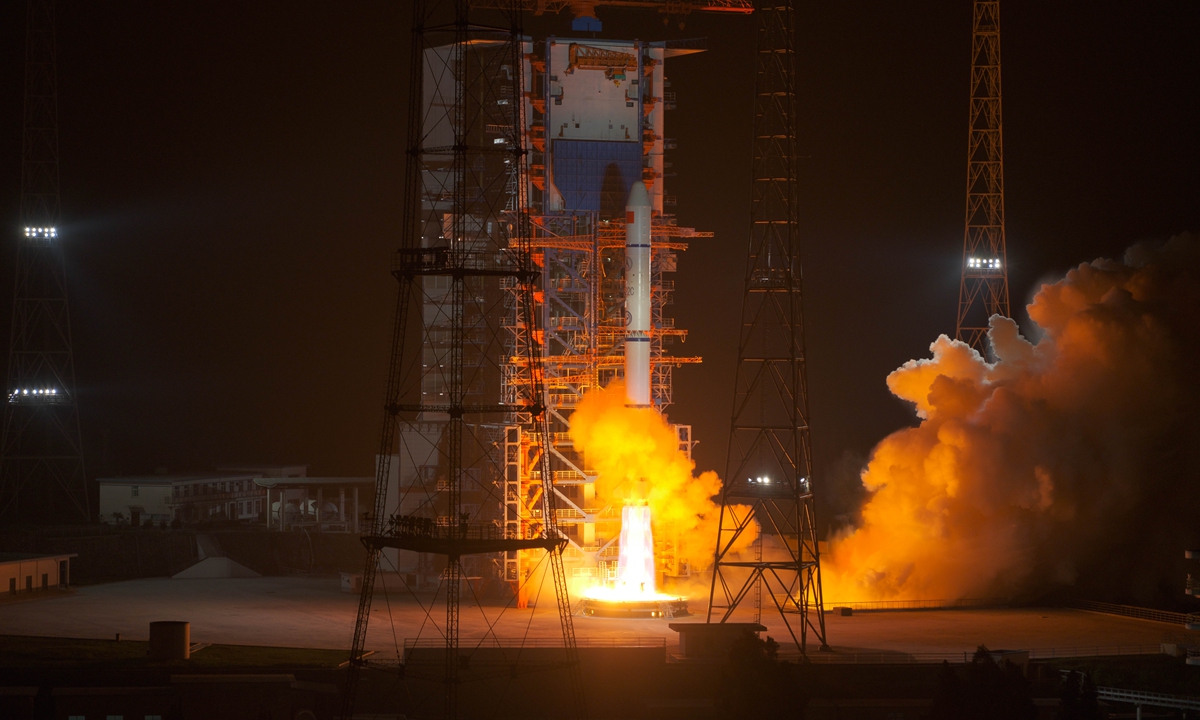
China successfully sent Yaogan-30 07 group satellites into planned orbit on October 26 midnight. The satellites will mainly be used for electromagnetic environment detection and related technological tests. Photo: Guo Wenbin
Satellites remote sensing technology is helping China to continue to monitor the environment during the COVID-19 pandemic, breaking through restrictions on travel, gatherings and past lockdowns.
During the strictest anti-epidemic period from January to March, the Center for Satellite Application on Ecology and Environment under China's Ecology and Environment Ministry utilized satellite sensing technology to continuously monitor NO2 and CO concentrations and industrial thermal radiation intensity in 39 cities.
According to the satellite center, strict anti-epidemic measures, industrial enterprises and transportation were largely suspended, and the concentration of NO2 and industrial thermal radiation intensity during Spring Festival in 2020, were significantly reduced compared with that of the previous year.
The CO column concentration increased significantly compared with that of the previous year because of people quarantined at home.
In the orderly resumption of work and production period, the concentration of NO2 column and industrial thermal radiation intensity showed a gradually increasing trend as industrial enterprises and traffic began to resume work and production gradually.
After the resumption of work and production, the NO2 and CO column concentration and the average industrial thermal radiation intensity reached the level detected during same period last year, indicating industrial enterprises and transportation and other enterprises fully resumed work and production.
Satellite sensing technology can quickly monitor a wide area and is not subject to restrictions imposed by measures to prevent the spread of the coronavirus.
After nearly 60 years of development, its monitoring of objects developed from vegetation then expanded to the atmosphere, water, ecology, and many other elements.
According to the satellite center, with the continuous increase of spatial, spectral, radiation and temporal resolution, satellites remote sensing technology has become the most feasible and effective technical means for global, national and regional large-scale ecological environment dynamic change monitoring.
However, there is still room for improvement in use of this technology for environment monitoring in China.
The center currently owns 24 satellites. The high precision satellite data obtained by the satellite center is insufficient, so it is impossible to obtain a large number of regular high-resolution satellite remote sensing data in China, Sun Weiping, an engineer at the center, told the Global Times.
In the face of active discovery and timely discovery of ecological and environmental problems, the automation and accurate screening capability of high-resolution satellite remote sensing data with low cloud cover has not yet been formed, and the automation of data production is not high, Sun noted.
The satellite center is actively seeking solutions to expand satellite data sources and solve the problem of insufficient satellite resources.
The center told the Global Times that it will make innovations in mechanisms, collaborate with superior research and development institutions to make breakthroughs in key technologies, establish a remote sensing monitoring network for the ecological environment, deepen the application of remote sensing monitoring, and solve the problems of weak key technologies.
