photo: web
China updated its geospatial information services platform with a newly-launched high definition map on Monday.
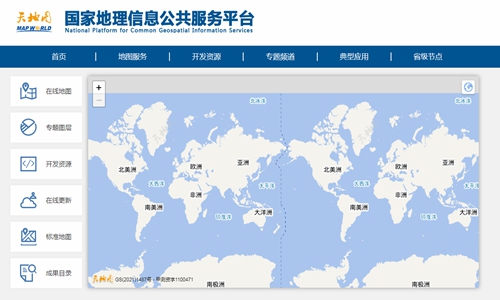
The 2021 version of National Platform for Common Geospatial Information Services was officially put into use on Monday, aimed at providing more convenient searching services to meet the needs of all users, according to the Ministry of Natural Resources.
Users can experience 360-degree rotation and all-round observation on an online high definition map with an optimized visualization system with the names of places, water systems, green spaces and residential areas.
The platforms also updated the geographic information for roads, waters systems and residential information. After the update, the total length of the national road system has increased by 9.8 percent to 17.59 million kilometers.
In terms of accurate positioning, the 2021 version of the platform comprehensively improved the accuracy when users search and locale places and administrative divisions on the map.
The new platform also integrates basic geographic information with marine geographic information such as island place names, seabed terrain and offshore contours.