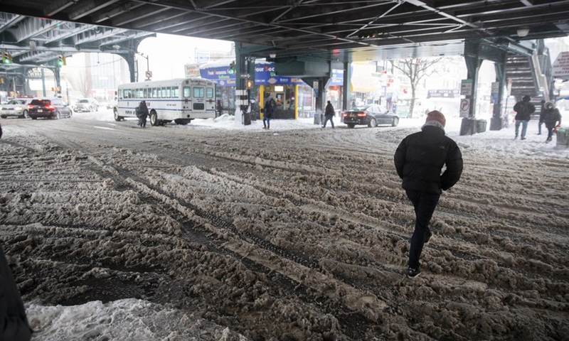
File photo taken on Feb. 1, 2021 shows a pedestrian walking across a street with snow in New York, the United States.(Photo: Xinhua)
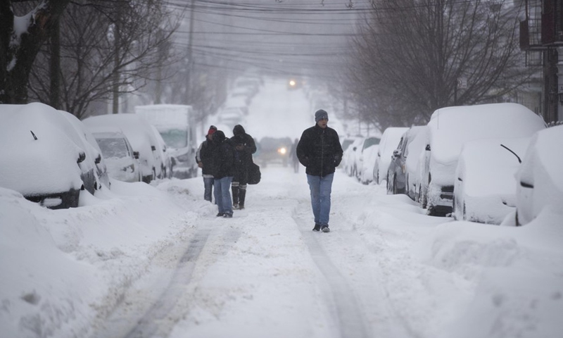
File photo taken on Feb. 1, 2021 shows people walking past snow-covered vehicles in New York, the United States.(Photo: Xinhua)
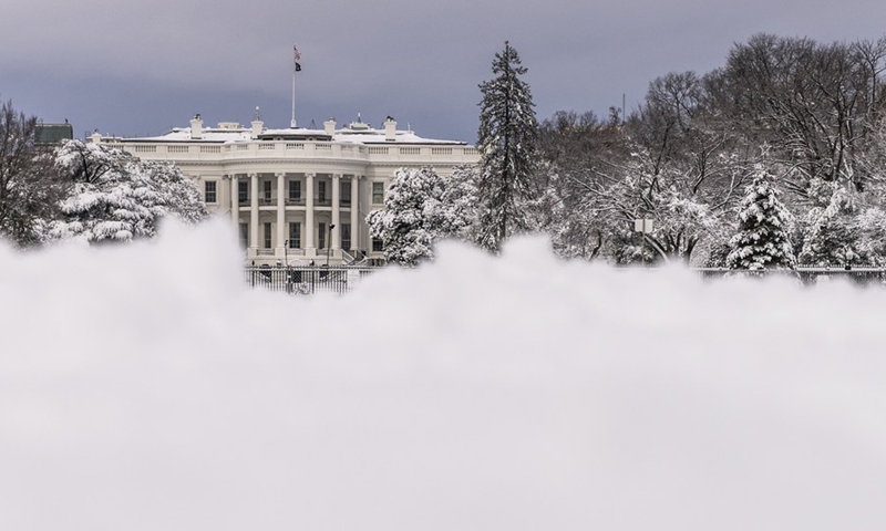
The White House is seen after a snowstorm in Washington, D.C., the United States, on Jan. 3, 2022.(Photo: Xinhua)
The mid-Atlantic and New England regions of the United States will face the second snowstorm of the week from Thursday night into Friday, according to weather-forecasting service agency AccuWeather.
"Accumulating snow will be disruptive across a large swath of the Northeast, including major cities from Washington, D.C., to Philadelphia, New York City and Boston," it said on Wednesday.
Arctic air will surge across the Midwest into Wednesday night, and a storm will form along the leading edge of the cold air as a dip in the jet stream provides enough fuel for a new system to develop.
"This will be a disruptive storm, and since cold air will be preceding the storm, snow will accumulate on roads as soon as it starts," said AccuWeather Chief On-Air Meteorologist Bernie Rayno.
TRI-STATE WARNING
NBC's Storm Team 4 is eyeing the potential for another winter storm late Thursday into Friday that could drop up to 4 inches of snow on parts of the tri-state area.
Snow is expected to start falling in spots late Thursday, but the bulk is expected early Friday. The weather is likely to cause some problems for Friday's morning commute.
Spots south and east of NYC are expected to see the highest totals, as was the case with a storm earlier this week that dropped more than a foot of snow on parts of New Jersey.
"As with any winter storm, there's wiggle room in the forecast for a shift in track," added NBC, cautioning people in the area, including New York, New Jersey and Connecticut.
NYC SNOWSTORM
Substantial snowstorm threatens to hit NYC from Thursday night into Friday morning, reported Secret NYC on Wednesday, citing multiple weather sources.
The National Weather Service is eyeing snow overnight Thursday into Friday, with one to two inches possible on Thursday night and another one to two inches possible Friday morning.
Of course, even a 70 percent chance of precipitation isn't definite, and it all really depends on how much the storm amplifies and strengthens, said the report.
However, NY Metro Weather has put the possibilities of the storm together quite succinctly, noting the potential for a winter storm from late Thursday into Friday.
MONDAY RAID
On Sunday, many were skeptical that accumulating snow would fall the next day in northeastern U.S., but by Monday afternoon, five to 10 inches or more of cement-like snow had plastered large parts of the region.
More than a half-million customers in Virginia and Maryland lost power because the weight of the snow combined with strong winds brought down tree limbs and power lines, and traffic on Interstate 95 came to a standstill.
The storm's severity can be attributed to its unusual strength and its course, taking an ideal track to wallop the zone from Central Virginia and Southern Maryland to the District with exceptionally heavy snow and strong winds.
"The snow intensity Monday morning was simply too much for trees and road crews to handle," reported The Washington Post, adding that more than 12 hours later, many motorists were still stranded there.
