China releases first nationwide geometric benchmark imagery, setting a unified ‘spatial scale’ for satellite remote sensing
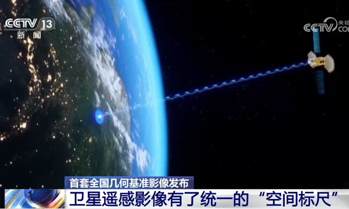
Photo: CCTV News
China's Ministry of Natural Resources has released its first complete set of geometric benchmark imagery covering the entire mainland territory, providing a unified high-precision reference for satellite remote sensing data, reported by China's state broadcaster CCTV News on Sunday.The imagery, with a resolution better than 0.5 meters, serves as a national "spatial scale" that allows images from different satellites to be accurately aligned and calibrated. Officials said the development resolves long-standing inconsistencies that have hindered the growing commercial remote-sensing sector.
At the ministry's Land Satellite Remote Sensing Application Center, staff demonstrated the difference with side-by-side comparisons. Without the benchmark, images of the same area captured by different satellites often failed to match: roads appeared discontinuous or shifted, and features did not align. After calibration using the new benchmark imagery, building footprints, road lengths and directions became consistent and precise.
"Different satellites produce imagery with varying geometric quality, making it impossible to overlay them accurately," said Zhou Ping, director of the data processing department at the center in the interview with CCTV. "Once the geometric benchmark is applied, measurements such as the area of buildings and the length and orientation of roads become highly accurate."
The release comes as China's commercial remote-sensing satellite constellation expands rapidly. Inconsistent geometric references had constrained industry growth by complicating data fusion and raising production costs. The new benchmark acts as a base map that can be used to correct raw satellite data, ensuring precise registration across sources.
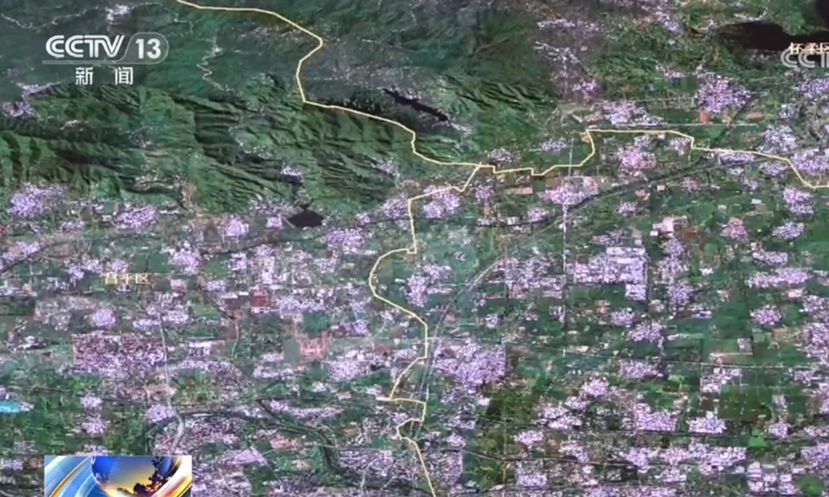
Photo: CCTV News
Officials noted that the system also overcomes technical challenges in mountainous and plateau regions, where ground control has traditionally been difficult. Overall positioning accuracy of remote-sensing imagery nationwide has more than doubled."We have established China's first set of geometric benchmark imagery that covers all land territory and achieves the highest overall accuracy," said Yu Dequan, deputy director of the Land Satellite Remote Sensing Application Center. He said the product will support applications including the construction of a real-scene 3D China, natural resources survey and monitoring, and commercial aerospace remote sensing.
The imagery will be openly shared with society and can significantly reduce image-production costs across industries, accelerating the development of the satellite remote-sensing application sector.
Sun Hua, an official in the remote sensing information division of the ministry's land surveying and mapping department, said that regulatory work is already under way.
"Within 2026, work will be done on researching and formulating documents to standardize the application of geometric benchmark imagery results, ensuring they are used efficiently and securely," Sun said. The ministry will also work with other departments to develop measures that encourage commercial satellite companies to make full use of the benchmark, fostering new industrial models and ecosystems.
RELATED ARTICLES