
Illustration: Xia Qing/GT
In my office hangs an antique world map drawn in 1717, on which Antarctica, the Arctic Ocean, Alaska, and Hawaii are absent. The Mercator projection was already widely adopted in drawing maps with parallels and meridians back then and it facilitated navigation. Thanks to the development of map projection, late British captain James Cook discovered many places where Westerners had never gone ashore before, such as the east coast of Australia and Hawaii.
My sight lands on that map everyday when I step into my office. As a scholar focusing on global governance, I occasionally feel sorry for the underdevelopment of map projections in ancient China. When the Mercator projection was already widely used in Europe, Chinese - under the rule of the Qing Dynasty (1644-1911) emperor Kangxi from 1661 to 1722 - drew maps with elaborate styles of painting. The inaccurate maps limited rulers' strategic views.
Eyeing politics, economy, society, and culture, scholars have been reflecting on the collapse of the Chinese empire after modernization era began. But they have often neglected factors of map making. Fortunately, the Chinese are capable of stopping this history from repeating itself.
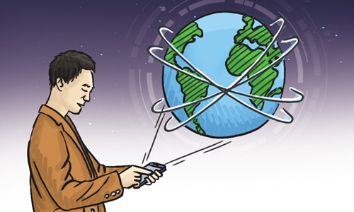
In the information age, three-dimensional and smarter maps have played subtle roles in promoting China's development. About 800 million people in China use smartphones. With diverse mobile apps, users actually contribute to map projection - they note in apps which restaurants serve better food, which couriers always deliver on time, which routes can save time at rush hours, or which country is better travel destinations, and so on.
Chinese are not only using maps, they themselves have jointly created a super map of social connectivity, which is an important part of China's modern governance in the information age.
During the fight against COVID-19 epidemic, Chinese have utilized smartphones to get informed where new infections were spotted, where the infected people had been to, and which cities and even which districts were under higher risks of infection.
Such a super map provided guidance for living and working in the special period. It helped people stay alert, and thus reduced the possibility of getting infected. This made China one of the most successful countries that put the deadly virus under control quickly.
In the 21st century, map projection capability is part of a country's national strength. Maps are not only about mountains, rivers, and roads. They can also harness a country's internal connectivity. Communications cables, high-speed railways, oil and gas pipelines, and internet are all connected with people's daily life and work.
From this perspective, the increase in China's map projection capability reflects its leading infrastructure construction in the world. In the 5G era, various landscapes of Chinese society - energy, transportation, communications, logistics, currency, technology, and even lifestyle - have drawn a picture of Internet of Things (IoT) and laid foundation for production, transport, trade, gathering, and innovation in the country.
This is the key for China to strike a balance with stability, development and reform. Interconnections between different social sectors due to technological advances have mitigated gaps in society and promoted integrative development.
Each and every person in China today can equally enjoy services such as food delivery, car hailing, and non-cash payments. This used to be the exclusive privilege of the rich who owned private chefs, drivers, and stewards.
Some people say that if non-cash payments in Minnesota were as popular as they are in China, George Floyd wouldn't have died for allegedly using counterfeit money. Some say part of the reason is the fact that the US is lagging behind in the 5G era.
"We are moving into an era where cities will matter more than states and supply chains will be a more important source of power than militaries - whose main purpose will be to protect supply chains rather than borders. Competitive connectivity is the arms race of the twenty-first century," Parag Khanna, founder and managing partner of FutureMap, a data- and scenario-based strategic advisory firm based in Singapore, wrote in his book Connectography: Mapping the Future of Global Civilization.
In my view, connectivity is not only about connections among countries, but also about interconnectivity within a single state. It determines how many global resources a country can pool.
Given Khanna's argumentation, we can confidently say that China's rise is just about to start as it proposes the Belt and Road Initiative globally while enhancing cyber power domestically through promoting IoT, smart cities, cloud computing, and big data.
The author is professor and executive dean of Chongyang Institute for Financial Studies at Renmin University of China, and executive director of China-US People-to-People Exchange Research Center. His latest book is Great Power's Long March Road.wangwen2013@ruc.edu.cn
