China launches construction of first BeiDou-empowering subway project in Beijing
By Published: Mar 21, 2022 08:38 PM


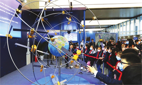
A volunteer is seen at the first International Summit on BeiDou Navigation Satellite System (BDS) Applications, in Changsha, central China's Hunan Province, Sept. 16, 2021. The First International Summit on BDS Applications opened Thursday with the theme "BDS serves the world, application fuels the future." Photo:Xinhua
China has expanded its application of home-developed BeiDou Navigation Satellite System, or BDS, to support the underground transportation in the country's capital city of Beijing, with the help of its world-beating 5G technology.
The construction of the country's first BDS-empowering subway system, and also the largest scale indoor navigation and positioning system - the Beijing Capital Airport Express, kicked off on Sunday and it is expected to be completed within 2022, Central China Television News reported Monday.
The express will cover a distance of 30 kilometers with 5 stops, and will serve as an important demonstration for the state project titled "key technologies for efficient transportation and safety services in mega-city rail transit systems," according to the report.
Positioning accuracy, thanks to the BDS, could be increased to a level better than 2 meters, which will not only support dispatching vehicles, emergency response for operators but also enable passengers to use their map applications on their cell phones to see their exact location.
Industry insiders and BDS technology researchers applauded the project as it signaled a breakthrough of the Chinese indigenous satellite system's bottleneck barrier in non-exposed scenarios such as underground, underwater and indoor environment. These are particularly difficult locations as satellite signals cannot be directly received in physically covered sites.
To achieve such breakthrough, China's advanced 5G technology played a key role.
According to Lin Luzhou, vice president of the Global Navigation Satellite System (GNSS) and Location Based Services (LBS) Association of China, the project will make use of the BDS signals and BDS enhancement technology in the open section and combine that with 5G ground station in the indoor section.
Wu Di, a scholar at the satellite positioning technology center of Wuhan University, told the Global Times on Monday that the 5G ground station is not capable enough in providing positioning services, but the BDS+5G solution will integrate the strength of BDS accuracy and the 5G ground station's indoor advantage.
Wu noted that it is also a rather cost-efficient solution, as the 5G station will provide not only communication service but also the distance measurement and the BDS-empowering positioning ones.
Yang Changfeng, Chief Architect of the BDS, who is also a member of the 13th National Committee of the Chinese People's Political Consultative Conference (CPPCC), the country's top advisory body, told the media on the sidelines of the two sessions in March that China will complete the development and deployment of a new-generation BDS, and build a comprehensive Positioning Navigation and Timing (PNT) system based on the BDS by 2035.
"There is no limit to the BDS capability, but only the limit to the imagination," Yang said.
China officially commissioned BDS on July 31 of 2020, opening the latest BDS-3 system to global users.
BDS is China's largest space-based system and one of four global navigation networks, alongside US' GPS, Russia's GLONASS and the European Union's Galileo.
BDS can provide diverse services and powerful functions. Globally, it can provide services enabling positioning, navigation and timing, global message communication, and international search and rescue. In the Asia-Pacific region, its services include regional short message communication, precise point positioning, and satellite-based and ground-based augmentation.
RELATED ARTICLES