China releases latest standards for maps, requiring accurate reflection of state territory

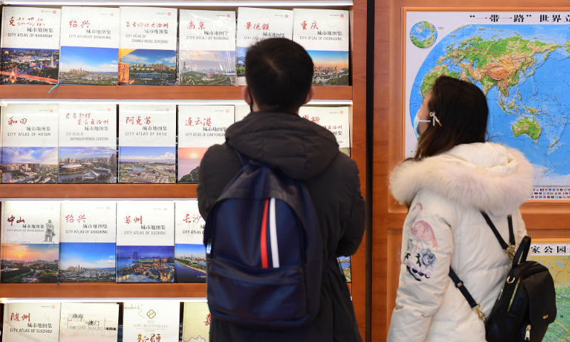
Local residents visit a map-themed bookstore in Xicheng district, Beijing on December 7, 2021. Photo: VCG
China's Ministry of Natural Resources on Tuesday issued the latest standards for the contents of maps, in order to strengthen map management, safeguard national sovereignty, security and development interests and promote the healthy development of the geographic information industry. The regulations said that a map of China should always accurately reflect the scope of China's territory.
In addition to China's inland area and the islands of Hainan and Taiwan, the full map of China should also show important islands such as Nanhai Zhudao (the South China Sea Islands), the Diaoyu Islands and the affiliated important islands, said the regulations. The southernmost point of Hainan island should be shown on the south side of the main map of China when Nanhai Zhudao are shown in the form of attached drawings, according to the standards.
The contents described on the map shall not affect the complete expression of China's territory, said the regulations.
Maps of China's Taiwan region should include the Diaoyu Islands and Chiwei Yu (except maps named after "the island of Taiwan"), said the regulations.
The regulations will come into force on the date of promulgation and will be valid for five years, according to the authorities.
The regulations also included standards for maps in terms of descriptions of the Hong Kong and Macao special administrative regions.
During recent years, various problematic maps threatening China's sovereignty and territorial integrity have been detected. In August 2022, Chongqing Customs officers seized 24 sets of problematic maps suspected of violating the one-China principal. In September 2022, a total of 57 "problematic maps" and 22 "problematic map" panels were detected and corrected during the 19th China-ASEAN Expo in South China's Guangxi Zhuang Autonomous Region.
China's natural resources and national security authorities have carried out joint law enforcement operations in recent years against enterprises and organizations that used "problematic maps" overseas.
Global Times

