China enhances ‘problematic maps’ oversight and global geodata sharing during 14th Five-Year Plan period
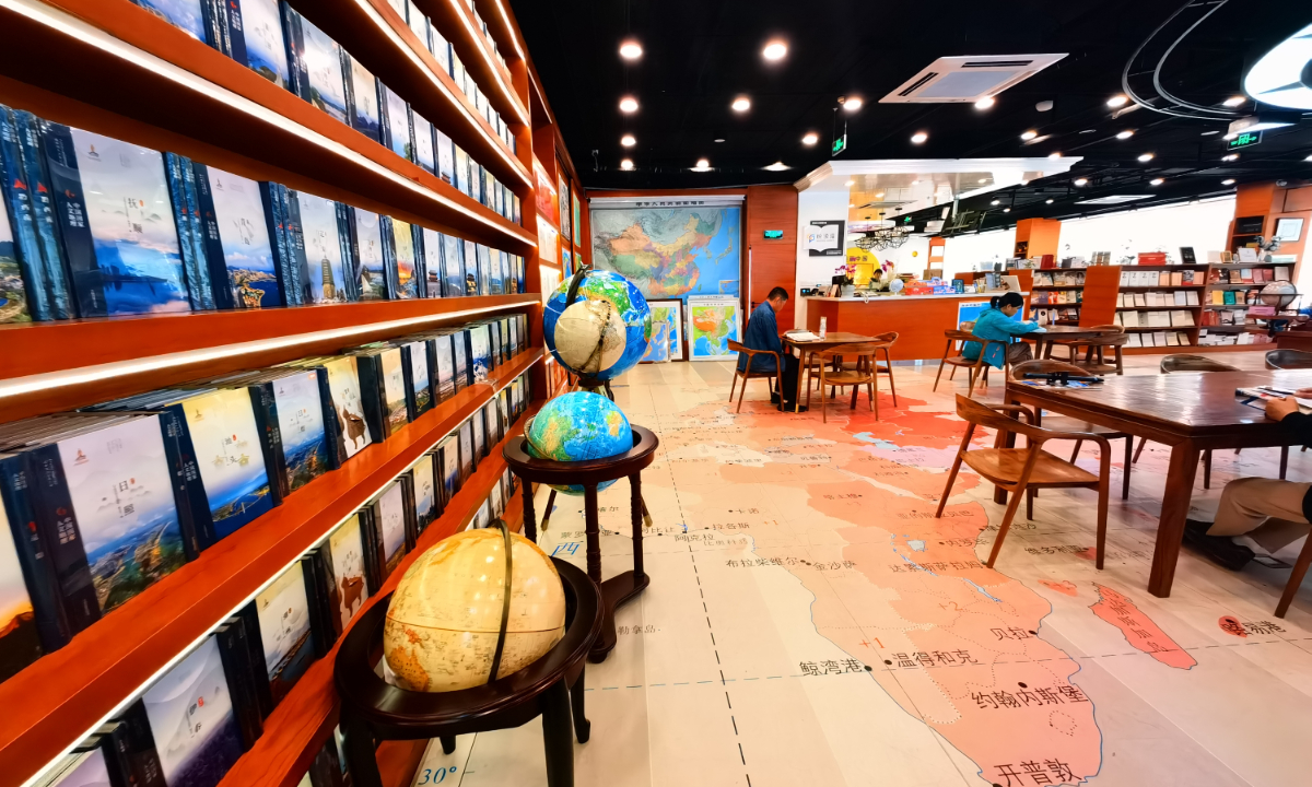
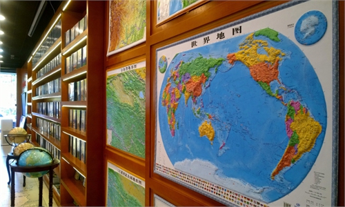
A map-themed bookstore in Beijing, photographed on April 26, 2024 Photo: IC
China has bolstered oversight of map market, enhancing public awareness of the national territory through inspections of illegal "problematic maps," while promoting the global sharing of geographic information. This reflects its commitment to the international resource collaboration, China's Ministry of Natural Resources announced during a press briefing on Tuesday while summarizing the significant accomplishments in surveying, mapping, and geographic information work during the 14th Five-Year Plan period (2021-25).
Public education on national territory awareness is an important component of patriotism education, said Chen Ping, head of the ministry's division of geographic information management. The ministry has achieved positive results by adhering to a balanced approach combining guidance and enforcement, strengthening interdepartmental coordination and integrating routine oversight with targeted supervision.
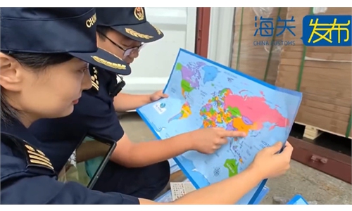
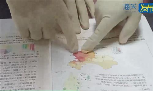
Since its establishment, the ministry has overseen approximately 12,000 inspections of the domestic map market, resulting in over 300 cases against illegal "problematic maps." It has also implemented targeted supervision for more than 70 major events, important exhibitions and key websites, Chen said.
By developing an intelligent map review system and improving its map monitoring system, the ministry has enhanced its capacity to identify and address "problematic maps."
Under the theme of "Use maps correctly - zero tolerance for errors," the ministry has established an annual publicity week to promote national territory awareness, according to its geographic information management division.
In addition, China has strengthened global geographic information sharing and application, contributing Chinese efforts to the building a community with a shared future for mankind, the ministry's division of land surveying announced on Tuesday.
According to the division, the global geographic information can directly reflect the world's natural geography and socio-economic conditions and is an important data resource for promoting sustainable development.
The ministry remains committed to sharing resources with the international community by providing data and technical assistance to developing countries. It has supported the China-ASEAN Satellite Remote Sensing Application Center and China-Africa Cooperation Center on Satellite Remote Sensing Application, and contributed to the establishment and operation of the UN Global Geospatial Knowledge and Innovation Center in China.
The ministry has donated three editions of GlobeLand30, the 30-meter global land cover dataset, to the UN, which have been applied by relevant UN agencies, more than 130 countries and regions, over 400 research institutions, and more than 570 universities, making important contributions to addressing global changes, supporting peacekeeping operations and ensuring maritime safety, according to the ministry's division of land surveying.
Global Times
RELATED ARTICLES