China releases first seabed geochemical map of eastern waters
Dataset marks a step forward in marine data capabilities and supports more science-based ocean governance: analysts
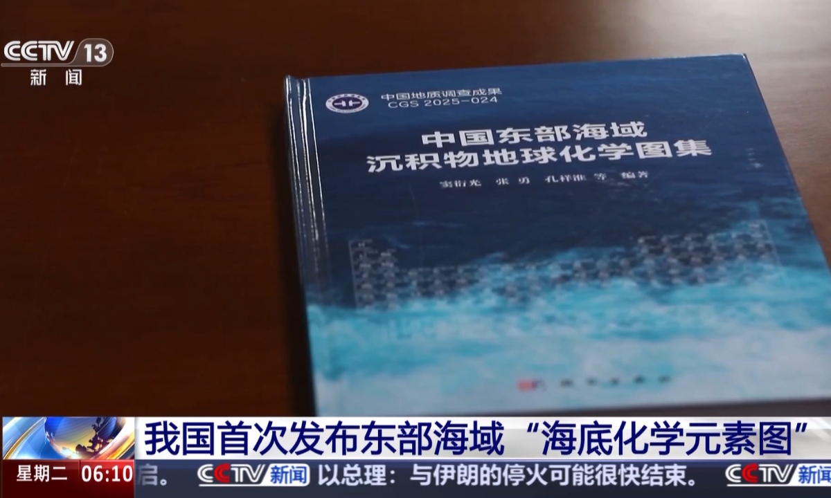
Cover of China's first geochemical atlas of seabed sediments in its eastern waters, as shown in a CCTV News report on April 14, 2026. Photo: screenshot from CCTV News
China has for the first time officially released a detailed "seabed chemical element map" of its eastern waters, presenting the results of nearly 20 years of marine geological surveys, CCTV News reported on Tuesday, citing the Ministry of Natural Resources.
Chinese analysts said that the dataset marks progress in marine data capabilities and supports more science-based maritime governance.
According to the report, the map will provide precise data support for coastal and marine spatial planning, ecological and environmental protection, and resource exploration.
Through this systematic survey and research, the scientific team integrated measured data from surface sediments with machine-learning analysis across more than 20,000 sampling sites, forming what is so far the most extensive, multi-dimensional and highly reliable geochemical dataset covering China's eastern waters.
The study also enabled a full-process geochemical analysis of sediments in the region, tracing their evolution from land to sea - effectively giving the seabed a comprehensive "elemental check-up," the report said.
Based on these results, researchers were able to map the locations, concentrations and distribution patterns of dozens of chemical elements, including iron, manganese, copper and rare earth elements. This has resulted in a geochemical atlas of seabed sediments in China's eastern waters, providing what is described as an overall "navigation chart" for marine development and conservation in the region, according to CCTV News.
Dou Yanguang, a researcher at the Qingdao Institute of Marine Geology under the China Geological Survey, was cited in the report as saying that analysis of element distribution can help quickly identify polluted areas and ecologically sensitive zones, support the delineation of marine ecological protection red lines, and strengthen the management of marine pollution and related risks.
"It can also enable more precise targeting of seabed mineral resources, reducing blind exploration. At the same time, it will facilitate scientific research by helping scientists better understand the ocean's past and present, and providing data support for studying the evolution of the Earth," Dou said.
The release of a comprehensive seafloor chemical element map for China's eastern seas marks a significant step forward in China's marine data capabilities, reflecting the outcomes of nearly two decades of sustained geological surveys, Wu Chenhui, an independent analyst specializing in the critical minerals sector, told the Global Times on Tuesday.
It provides a comprehensive reference for the types and distribution of key elements, while also highlighting China's capability to independently survey and assess its marine resources, Wu said, adding that the development is set to support the country's management of its maritime jurisdiction and related rights.
China's eastern waters include the Bohai Sea, the Yellow Sea and the East China Sea, forming a key maritime region linking the Eurasian continent and the Pacific Ocean. Layers of sediments and biological remains accumulated on the seabed are like a "diary under the sea," faithfully recording processes such as continental drift, climate change and river course shifts over millions of years, according to CCTV News.
The research fills a gap in the systematic geochemical mapping of seabed sediments in China's eastern waters, and is expected to enhance China's academic influence in global studies of marginal seas, according to the report.
The release also reflects China's broader efforts to strengthen its marine data infrastructure. China has made rapid advances in deep-sea exploration technologies, with major scientific facilities such as the Fendouzhe submersible, the Mengxiang drilling vessel and seabed observation networks now in operation, underpinning internationally advanced capabilities in deep-sea access, exploration and development, according to some industrial observers.
The outline of the 15th Five-Year Plan (2026-30) also includes strengthened development and utilization of marine resources, with a focus on launching a new round of comprehensive marine surveys and improving systems for marine ecological monitoring and early warning.
This sustained investment in marine baseline surveys helps build a clearer picture of marine resources, providing a foundation for strengthening long-term supply security and supporting China's development as a maritime economy, Wu said, adding that as a foundational effort, it lays the groundwork for future resource development, from early-stage surveying and planning to pilot extraction.
Against the backdrop of growing demand for marine resources and sustainable maritime governance, strengthening marine survey capabilities is increasingly seen as a strategic priority for national development, with long-term implications for China's capacity to advance deep-sea exploration and improve management of its maritime domain, the expert added.
RELATED ARTICLES