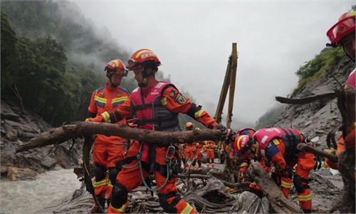
Hazard assessment in the Nepal August 26 mudslide disaster area identifies some 60 potential geological hazard sites including 8 classified as high-risk
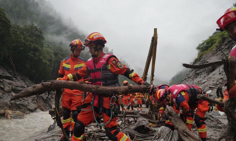
Rescuers work at the mudslide-hit area in Gyirong County, Southwest China’s Xizang Autonomous Region on August 29, 2026. Photo: Xinhua
China’s Ministry of Natural Resources has launched a hazard assessment in the Nepal August 26 mudslide disaster area, preliminarily identifying eight high-risk geological hazard sites, China Central Television (CCTV) reported on Sunday, citing the ministry.
According to the ministry, professional technical personnel are being mobilized, with a focus on the ice-avalanche source area, barrier lake, areas along the channel, and the surrounding watershed. Emergency mapping and risk and hazard surveys are being conducted by area to assess the extent of the disaster’s impact. Geological hazard inspections and screenings are also being strengthened in key areas, including emergency rescue routes, nearby villages and resettlement sites, CCTV reported.
Experts at the front line and support headquarters have identified more than 60 potential geological hazard sites in the affected area, with eight preliminarily classified as high-risk, based on remote-sensing analysis and field surveys, the ministry said.
The ministry recommends combining drone surveys with ground manual inspections during rescue operations, while strengthening monitoring of debris-flow source areas and providing ongoing risk assessments and early warnings for potential collapses and landslides along affected channels, according to CCTV.
Global Times
RELATED ARTICLES