Mt. Qomolangma gets a new height: 8,848.86 meters
By Fan Anqi, and Li Sikun Published: Dec 08, 2020 11:53 PM Updated: Dec 08, 2020 11:55 PM


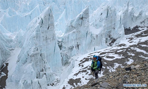
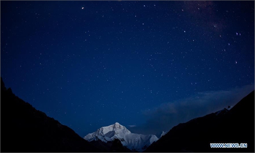
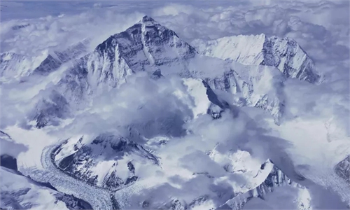
Photo taken on May 4, 2020 shows a view of Mount Qomolangma in southwest China's Tibet Autonomous Region. Photo: Xinhua
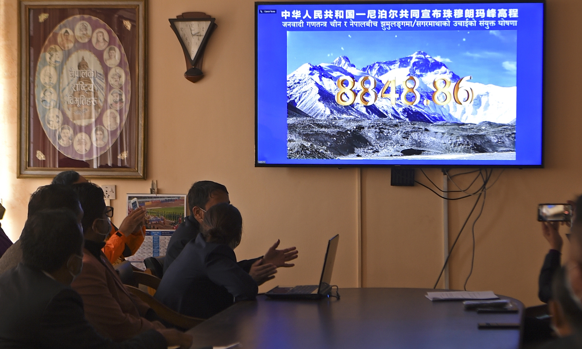
Mount Qomolangma, commonly known in the West as Mount Everest, has a new official height, with top leaders from China and Nepal, the two countries the world's highest peak straddles, jointly announcing the historic result: 8,848.86 meters at the top of the snowcap, 86 centimeters higher than the previously used measurement.
Scientists from the re-measurement team attributed the increase in height to having based the new calculation on "snow height" rather than the "rock height" which China previously used. Moreover, it used global sea level as benchmark, rather than the Yellow Sea standard adopted by China before.
China and Nepal are under good momentum of development in recent years and the two sides have constantly reiterated that no border dispute exists, even though outside forces such as India keeps stirring up conflicts between the two countries. The joint announcement of Qomolangma's new height can be seen as a crucial step toward solving the only few remaining disputes between the two countries, said observers.
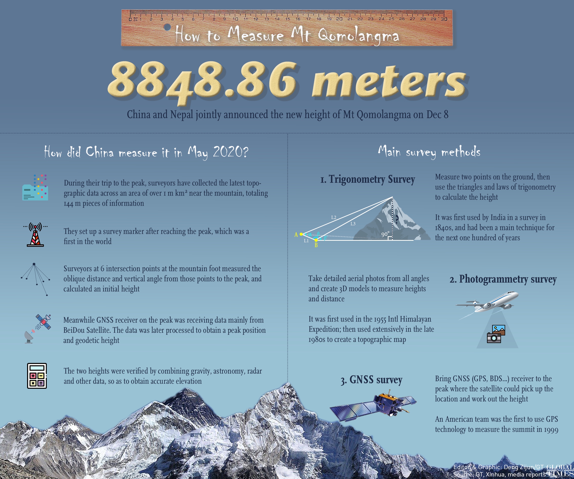
How to Measure Mt Qomolangma Infographic: GT
Historical measurement
On Tuesday, Chinese President Xi Jinping and his Nepalese counterpart Bidya Devi Bhandari exchanged letters to jointly announce the height of Mount Qomolangma.
In a letter to his Nepalese counterpart, Xi said that announcing the new height of Mount Qomolangma carries the significance of connecting the past and building the future, hailing it as signaling the high level of the continuous development of the bilateral relationship.
Xi noted that Mount Qomolangma is an important symbol of the friendship between the two countries from generation to generation. The two countries established the world's highest peak as the boundary between China and Nepal and it has become the "Peak of China-Nepal Friendship."
China is ready to work with Nepal to actively promote the cooperation in ecological and environmental protection and scientific research on Mount Qomolangma, and better safeguard the precious wealth and home of both peoples, Xi said.
Bhandari said that the joint announcement has historic meaning and that the mountain is an everlasting symbol of Chinese and Nepalese friendship.
The operation to make the historic measurement saw many breakthroughs, said Li Guopeng, a team leader from the Ministry of Natural Resources, giving the example that it is the first time the gravity value of Mount Qomolangma has been established.
Mount Qomolangma plays vital reference to research into tectonic plate movement, snowmelt and other environmental changes on the Qinghai-Tibet region, Sun Heping from the Innovation Academy for Precision Measurement Science and Technology from the Chinese Academy of Sciences, told the Global Times.
Sun said that the measurement does not only embody a country's comprehensive strength, it also signals a country's sovereignty, which has significant international impact.
The Chinese measurement team made a successful journey to the peak of Mount Qomolangma on May 27, following a joint statement signed in 2019 by the two countries saying they would conduct scientific research and reach a consensus on the height of the mountain during Xi's visit to Nepal's capital city Kathmandu.
5G communication technology was used, with telecom giant China Mobile and Chinese tech company Huawei providing end-to-end solutions during the ascent. Many of China's homegrown new technology applications, including the BeiDou Satellite Navigation System, were also adopted to ensure that the country's latest trip to re-measure the height of Mount Qomolangma went smoothly.
The measurement previously commonly adopted was 8,848 meters at the top of the snow pack, a result issued by India in 1954. However, proud as Nepalese are, they have always wanted a calculation of their own.
"It was the first time that Nepal has deployed its own national resources to measure the height of Mount Sagarmatha [Nepalese name for Mount Qomolangma], and I feel very proud," Nepal's Chief Survey Officer Khimlal Gautam said during a press interview.
In 2015, when the devastating 8.1-magnitude earthquake shook Nepal, there was a hug avalanche on the south face of the mountain, the main reason the Nepalese side called for a re-measurement.
It initiated the survey operation in 2017 with a budget of $1.3 million, which lasted for two years.
"It is worth noting that we have received technological support from China during our quest to the peak," Gautam noted, "such as the BeiDou Navigation Satellite System, as well as other satellite signal support from GPS, and those from Russia and Japan."
Staff members of the Survey Department attend the virtual announcement of the height of Mount Qomolangma in Kathmandu on Tuesday. The highest point on Earth got a bit higher as China and Nepal finally agreed on a precise elevation for Mount Qomolangma after decades of debate. Photo: AFP
Offsetting differences
China and Nepal have debated the height of the mountain for years. The previous calculation by Chinese researchers from a 2005 survey stands at 8,844 meters, while Nepal said it was a little taller, at 8,847 meters.
The three-meter gap, to be closed in the upcoming announcement, was caused by the difference in measuring methods, with China calculating the "rock height" underneath the snow, while Nepal measured the "snow height" which includes the snowcap.
Dang Yaming, the project leader of China's re-measurement task, told the Global Times that the measurement differs from previous ones because the data was processed by China and Nepal together. He added it is a more reasonable calculation and has received recognition from both countries.
When asked about whether the standard of the measurement was based on snow height rather than rock height, Dang said that the two directly measured the height of the top of the snow pack, which is more accurate than measuring the rock base. In addition, the height including the snowcap is more symbolic, since it is the height that mountaineers have challenged and achieved as they climb up the mountain.
Dang said that China's previous announcements of the height of Mount Qomolangma were based on the height of the snowcap on the day it was tested. This practice gives us an accurate number, but the number is constantly changing.
"In fact, if there is a heavy snowfall on the peak the next day, the snow height will be much higher than the day before. The weather is constantly changing on the peak, so the result could only reflect the height on the day that scientists mounted," he explained.
Different from previous experiences, Chinese and Nepalese scientists have worked out an average based on the results given in the past two years, which is a more reasonable calculation and has received recognition from both countries, Dang noted.
"The final result could be beneficial in enhancing the friendship of the two peoples," Dang said.
Reaching a consensus on the issue reflects the two countries' mutual respect and willingness to extend cooperation by promoting information sharing, observers noted on Tuesday.
Observers said that politically, 2020 marks the 65th anniversary of the establishment of diplomatic ties between China and Nepal, and the 60th anniversary of the first ascent of Mount Qomolangma by a Chinese team, thus announcing new height at this time will push bilateral ties to a new peak.
RELATED ARTICLES