Remote sensing detects 8,450 potential hazards in areas including Three Gorges Reservoir: ministry
By and Cui Fandi Published: Aug 22, 2021 11:11 PM

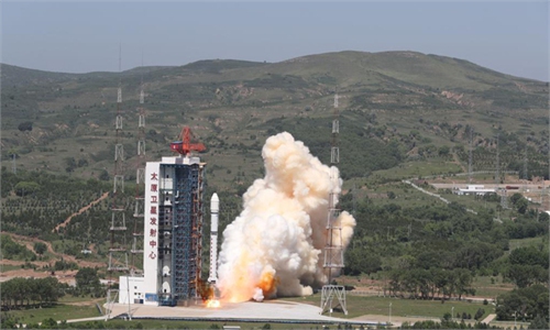
Remote-sensing satellites Photo: IC
With the help of remote-sensing satellites, China has completed the identification of potential geological disasters in regions with high risks, covering areas such as the Three Gorges project and the southeastern areas in Southwest China's Tibet Autonomous Region, said the Ministry of Natural Resources.
According to a report the ministry released on Friday, a total of 8,450 potential hazards were detected in 2020 by remote-sensing satellites in nine provincial regions with high geological disaster risks in China. The hazards were mainly ridge-top rockslides and large unstable slopes.
Five typical geological disaster distribution regions have been completely covered including the upstream region of the Yellow River, the highly seismic region in Southwest China's Sichuan Province, the southeastern region of Tibet, the northwestern region of Southwest China's Yunnan Province and the Three Gorges Reservoir area.
The construction and safe operation of the Three Gorges project have faced tests of geological disasters, but China has been actively keeping an eye on potential hazards in the Three Gorges area.
A monitoring and early warning center of the Three Gorges Reservoir under the Ministry of Natural Resources has been working with local governments in Central China's Hubei Province and Southwest China's Chongqing to build a monitoring system, which covers professionals, the public and computing analysis.
Efforts in the prevention and control of geological disasters in the Three Gorges Reservoir area have achieved "zero casualties" for 17 consecutive years, ensuring the geological safety in the area, according to the official Natural Resources Newspaper in May 2020.
China's Ministry of Education in 2008 established a Three Gorges Research Center for Geo-hazards. The work of the center includes "Prediction and warning system of geo-hazard in the Three Gorges Reservoir area," according to its official website.
According to the Natural Resource Newspaper, the Three Gorges Reservoir area has a complicated geological situation with frequent storms and floods. Moreover, since storing water, the reservoir has experienced a 30-meter water level change annually.
Also, to some extent, the geological conditions of the bank slope of the Three Gorges Reservoir have been changed, and the occurrence of geological disasters in the reservoir area has been aggravated.
"The working behavior of the buildings and foundation of the Three Gorges Dam are all normal, safe and reliable," read a statement the China Three Gorges Corp sent to the Global Times in July 2020.
According to the Friday report, remote-sensing satellites have been widely used in China. For instance, they help monitor the coral reef ecosystem in the South China Sea, such as the sea around Huangyan Island. They will also help monitor the weather in Beijing's Yanqing district during the upcoming Beijing 2022 Winter Olympic Games.
High-resolution remote sensing is often used to identify hidden dangers of natural disasters such as earthquakes and other geological factors, and it is a relatively mature technology in China, Shen Xuhui, chief engineer of National Academy of Natural Disaster Prevention and Control, told the Global Times on Sunday.
During recent frequent extreme weather, this technology has also played an important role in disaster prevention and relief, Shen said.
"On the premise of providing extreme weather warnings, relevant departments and scientific and technological teams can focus on the hidden dangers of natural disasters such as landslides, collapses and mudslides that have been delineated in advance. They can deduce disaster risks in advance, and formulate reasonable emergency plans to minimize human and economic losses."
China has 19 natural resources remote-sensing satellites in orbit, and it has basically realized the data sharing on land, mapping, ocean, geology, mining, forestry and grass. The land satellites have generated more than 1.73 million data entries, and the marine satellites have generated more than 2.74 million data entries.
Investigating major potential geological disasters is an important part of the support system provided by remote-sensing satellite technology. In addition, it is also used for rare resources protection, heavy industrial capacity estimate, glacier distribution probing, and arable land protection.
RELATED ARTICLES