Chinese marine research vessel Haiyang 6 completes deep sea exploration; several scientific findings released: report
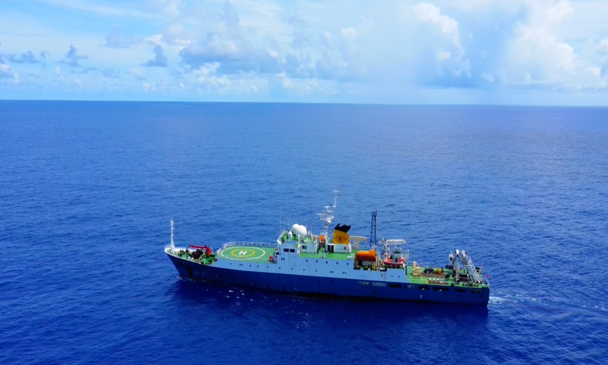
Chinese marine research vessel Haiyang 6 (Ocean 6) Photo: CCTV
Chinese marine research vessel Haiyang 6 (Ocean 6) has successfully completed the second leg of its 15th deep-sea geological survey voyage, and several scientific findings were officially released on Wednesday, according to CCTV News.The second leg of the 15th voyage of the Haiyang 6 set sail on August 29 this year, lasting 95 days and covering a total distance of 12,673 nautical miles. The vessel, which is under the Guangzhou Marine Geological Survey (GMGS) and the Ministry of Natural Resources, returned recently, , according to CCTV News, citing the China Geological Survey.
A large amount of valuable data and samples were collected, including deep-sea environmental data, deep-sea water samples, seabed sediments, polymetallic nodules, and deep-sea biological samples. Additionally, new progress has been made in the application of key technologies and equipment for deep-sea exploration, according to CCTV News on Wednesday.
Song Laiyong, technical lead of the vessel at the GMGS, said that "for the first time in the deep waters of the Pacific Ocean, we used our independently developed 6,000-meter-class deep-sea remotely operated vehicle and a domestically produced autonomous underwater robot, working in tandem near the seabed to conduct high-precision tests and operations, achieving excellent application results."
This data will provide the most fundamental and critical basis for studying deep-sea geology, deep-sea environments, and deep-sea ecosystems, Song was quoted by CCTV News as saying.
During this scientific expedition by the Haiyang 6, the first electromagnetic profile survey of the Pacific Ocean's deep-sea trenches was also completed, yielding high-quality electromagnetic observation data from the Pacific's depths. Experts believed that this data can assist in future site selection for ocean drilling, according to CCTV News.
CCTV News revealed an image which shows the electromagnetic profile measurement map of the Pacific Ocean's deep-sea trenches obtained in this expedition.
It functions like a "CT scan" of the Earth, analyzing natural electromagnetic field signals from within the planet to detect the electrical characteristics of rocks deep underground, thereby inferring stratigraphic structures, material compositions, and even temperature conditions, per CCTV News.
It was reported that the research vessel is scheduled to set sail again for the Pacific Ocean in the first half of 2026 to conduct more in-depth surveys of fundamental geology and environmental geology.
Global Times
RELATED ARTICLES