China's drone swarm achieves first-ever three-dimensional observation of Typhoon Noul throughout its entire passage
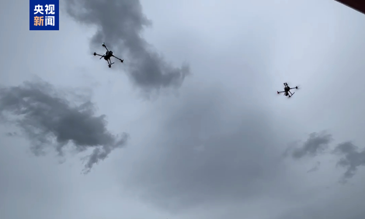
Picture shows a drone swarm observing Typhoon Noul throughout its entire passage. Photo: China Central Television
During the impact of Typhoon Noul on China, Chinese meteorological researchers for the first time used drone swarm observation technology to conduct high-frequency, multi-dimensional observation experiments throughout the entire process of the typhoon's landfall. This also marks the first time that China has applied drone swarm technology to monitor a typhoon throughout its entire passage, China Central Television learned from the China Meteorological Administration (CMA).
China's National Meteorological Center issued an orange typhoon alert on Sunday morning after Typhoon Noul made landfall in south China's Guangdong Province, with maximum winds of Force 14 near its center, per Xinhua News Agency.
Later Sunday morning, Typhoon Noul weakened from a severe typhoon to a typhoon, according to the center.
The experiment of using drone swarm to observe the typhoon was conducted at the CMS's low-altitude economy unmanned aviation meteorological experiment base in Shenzhen.
During the experiment, researchers continuously and simultaneously obtained vertical profile observation data of key meteorological parameters, including low-altitude temperature, humidity, wind fields and turbulence, before and after the typhoon's passage, according to CCTV.
The researchers also collected and recorded operational parameters such as drone flight attitude, trajectory deviations and changes in power consumption, systematically exploring the meteorological constraints and safety boundaries for drone operations during extreme weather events.
Unlike traditional single-drone operations, a drone swarm consists of multiple unmanned aerial vehicles equipped with meteorological payloads that work as a coordinated observation array.
The system enables simultaneous atmospheric measurements at multiple points and altitudes within the airspace. Through inter-drone coordination, it achieves high-density sampling of the three-dimensional low-altitude atmosphere, overcoming the limitations of single-point observations, according to CCTV.
The technology helps address gaps in nearshore low-altitude meteorological observations, providing critical real-time data to improve typhoon monitoring and forecasting capabilities. It also contributes scientific data for exploring the safety limits of drone operations under extreme weather conditions.
Global Times
RELATED ARTICLES