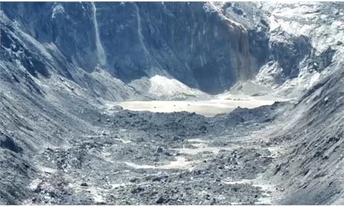
Latest satellite imagery reveals two potentially hazardous barrier lakes near Gyirong Port in Xizang
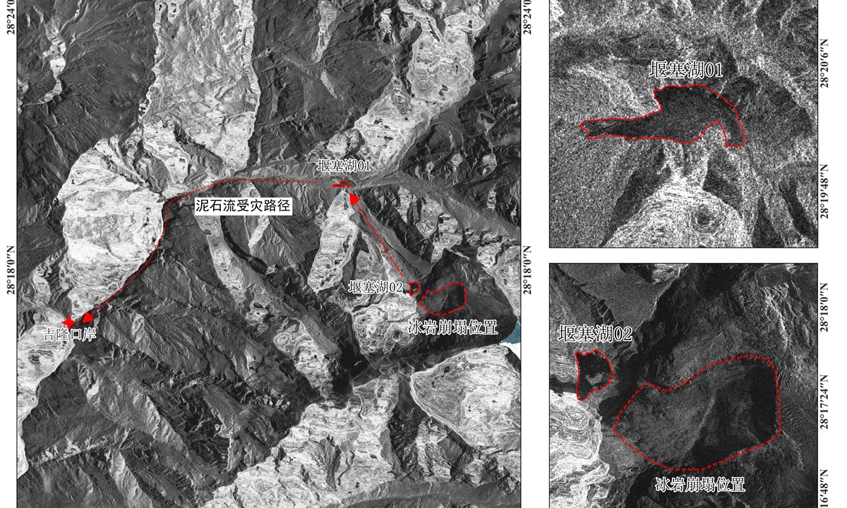
Satellite imagery shows two potentially hazardous barrier lakes near Gyirong Port.
After a mudslide in Nepal struck Gyirong Port along the China-Nepal border in Southwest China's Xizang Autonomous Region on Wednesday, conventional optical remote-sensing technologies struggled to conduct effective observations due to the area's mountainous and rugged terrain, deep valleys, and persistent cloud and fog.
Chinese commercial satellite company Spacety, in collaboration with Dachu Space Technology (Gansu) Co., Ltd, urgently tasked the Shenqi-02 SAR satellite with emergency imaging. Leveraging SAR's all-weather, day-and-night observation capabilities, the satellite penetrated the cloud and fog cover and acquired the second batch of emergency imagery of the disaster-stricken area at 12:41 pm Beijing Time on Friday.
Imagery captured by the Shenqi-2 satellite shows that, in addition to Barrier Lake 01, which was identified from earlier emergency-response data, a second barrier lake, Barrier Lake 02, has now been identified upstream along the disaster path. The two lakes are approximately 5 kilometers apart.
The lake is located near the source area of the ice-rock avalanche in Nepal upstream of the disaster site. In the satellite imagery, it appears as a closed, dark-toned area with a clear outline and discernible shape, showing typical characteristics of a lake formed by avalanche debris blocking a valley.
After analyzing the satellite imagery, technical personnel said the barrier lake was formed in a high-altitude valley and that its dam consists of loose accumulated material, posing a potential risk of secondary disasters.
Previously, according to the Ministry of Water Resources, a barrier lake formed near the confluence of the Chhochen Khola and the Purepu Tsangpo following a mudslide on the Nepalese side on August 26.
Based on the latest remote-sensing analysis at 11:43 am on Friday, the water surface area of the Purepu Tsangpo barrier lake was approximately 104,000 square meters, down by about 16,000 square meters from 1 pm on Thursday. This indicates that water has begun to flow slowly over the barrier, with the water volume gradually decreasing.
As of Saturday night, CCTV News reported that the Purepu Tsangpo barrier lake was currently discharging naturally under normal conditions, and has been essentially drained, according to the latest information from the Ministry of Water Resources' emergency hydrological monitoring team.
The Global Times learned that the satellite imagery obtained in this operation has been provided to relevant domestic emergency-response and research institutions, providing data support for their assessment of the disaster situation and emergency response efforts.
RELATED ARTICLES