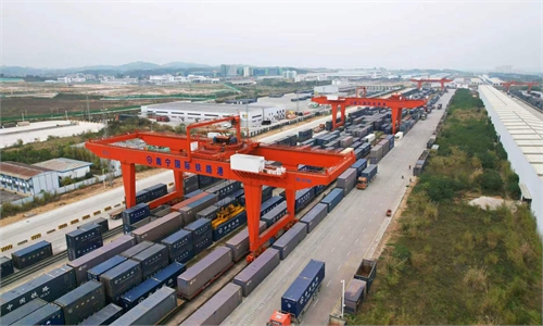
China’s major river-to-sea Pinglu Canal will open to navigation on September 16, enhancing links with ASEAN
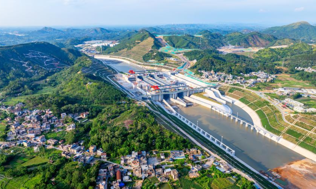
An aerial drone photo taken on June 3, 2026 shows water being pumped into the Madao hub on the Pinglu Canal in south China's Guangxi Zhuang Autonomous Region. (Photo by Zhao Zhenyu/Xinhua)
China's major river-to-sea Pinglu Canal is due to be completed and opened to navigation on September 16, local officials announced at a press briefing held on Monday. The same day, China officially released the nautical chart for the Pinglu Canal estuary to the public. The installation of coastal navigational aids in the canal's estuary section has been fully completed, marking the full readiness of the canal's maritime safety system - from channel markings to nautical chart coverage, China Central Television (CCTV) reported.
Dubbed a "project of the century," the Pinglu Canal is the first canal in China to be planned at the national level since 1949. Once operational, the canal is capable of accommodating vessels of up to 5,000 metric tons. It will add a new river-to-sea intermodal corridor to Southwest China, while also serving as the backbone of the country's New International Land-Sea Trade Corridor, a key initiative enhancing global trade connectivity for China's southwestern inland regions.
The Pinglu Canal's main works have now passed acceptance, with the integrated smart dispatch platform for rivers, inland waterways and the sea in South China's Guangxi Zhuang Autonomous Region fully online. Emergency support, cargo organization and operational preparations are in place, all running procedures have been completed, and the canal is ready to open to navigation.
The nautical map is an official Pinglu Canal chart published by the China Maritime Safety Administration. It covers the newly built 22-kilometer coastal section from the Qinjiang Bridge on the G75 Lanhai Expressway, past Longmen Bridge, to the junction with Qinzhou Port, and joins seamlessly with existing Qinzhou Port charts to form a continuous chart series for the Qinzhou harbor area in the Beibu Gulf.
Regarding navigational aids, the Southern Navigation Service Center under China's Ministry of Transport has placed 127 marks along the coastal waters of the canal, including lighted buoys, bridge navigation marks, beacons and pipeline marks, to provide ships with precise guidance when passing under bridges, according to the CCTV report.
Chea Munyrith, president of the Cambodian Chinese Evolution Researchers Association, told the Global Times on Monday that the opening of the Pinglu Canal could be a significant new opportunity to strengthen ASEAN-China connectivity and economic cooperation.
By linking China's inland regions more efficiently with the sea, the canal can complement existing land, rail, maritime and river transport networks, helping improve the efficiency of logistics, reduce transportation costs, and facilitate the movement of goods between China and ASEAN markets, he said.
"The canal could strengthen regional supply chain resilience and create new opportunities in trade, investment, logistics, manufacturing, agriculture and tourism. For ASEAN countries, better connectivity with China means greater access to one of the world's largest markets and more opportunities to participate in regional value chains," Munyrith said, noting that the impact could be more significant over the longer term.
Global Times
RELATED ARTICLES