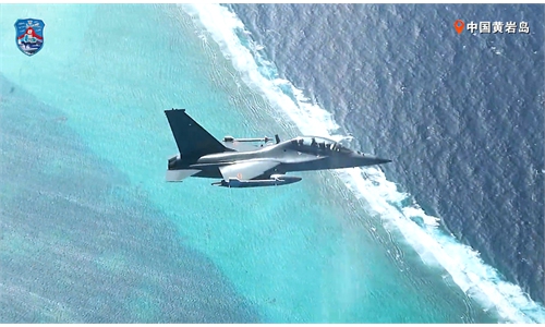
Ministry of Natural Resources conducts multidisciplinary geological survey in China’s Huangyan Dao waters
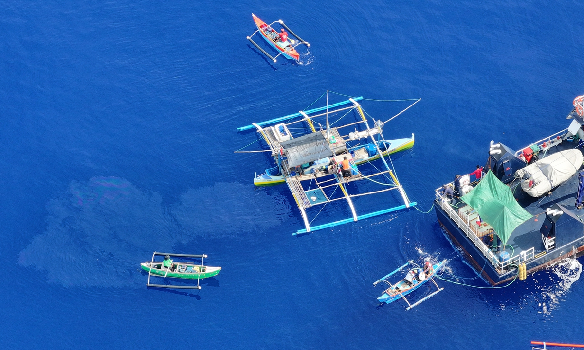
Drone image shows Philippine public vessels in waters near China's Huangyan Dao on July 23, 2026, for a supply mission for 12 Philippine "octopus boats" in the area. During the cargo transfer operation, a large amount of fuel supplied by the Philippine vessels leaked. Photo: Courtesy of China Coast Guard
To comprehensively understand the foundational geological elements and ecological environment of China's jurisdictional waters, the China Geological Survey’s research vessel Haiyang Dizhi Shihao carried out a multidisciplinary comprehensive geological survey in the waters of Huangyan Dao from August 11 to September 8, according to the Ministry of Natural Resources on Wednesday.
The survey integrated multiple disciplines and utilized techniques such as single-channel seismic profiling, gravity and magnetic measurements, underway current profiling, and geological sampling, the ministry said.
It gathered essential data on marine hydrology, sedimentary strata, and geophysical fields, along with samples of seawater, marine life, marine sediments, and seabed rocks. This effort provides reliable, first-hand data for further investigating the regional geological and geophysical characteristics and the status of the ecological environment.
It will support research on seabed sediment types, stratigraphic structures, potential geological hazards, tectonic evolution, and marine environmental quality evaluation, while also offering a scientific basis for comprehensive management in the waters of Huangyan Dao, the ministry said.
Global Times
RELATED ARTICLES