International report refutes foreign‑media speculations, confirms Nepal mudslide was a climate-driven compound geohazard
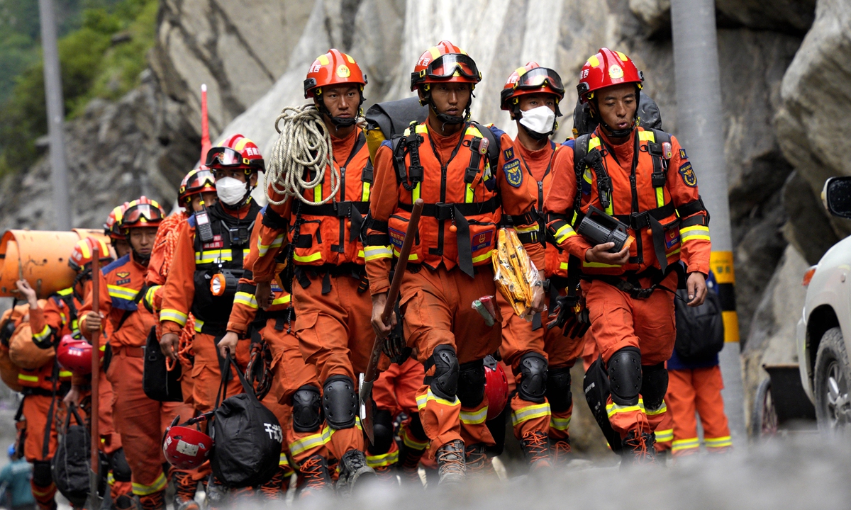
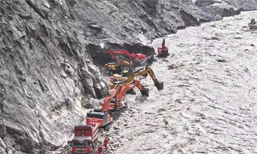
Rescuers carry supplies and equipment into the core disaster area on September 2, 2026. Road access to the core area of the mudslide-hit Gyirong Port in Southwest China's Xizang Autonomous Region was basically restored at 10 am on the day. Photo: VCG
Human‑induced climate change was a key driver behind the cross-border mudslide disaster that struck the China-Nepal border in late August, according to a special report released Thursday by the World Weather Attribution (WWA), an international research organization. The report is titled "Rapid Warming in the Himalaya Exacerbates Geohazard Cascades Beyond Adaptation Limits."Following the disaster, some foreign media outlets put forward false unsubstantiated claims attempting to attribute the rock-ice avalanche and mudslide disaster — which originated in Nepal's high-altitude mountainous regions — to factors such as Chinese infrastructure projects. In the face of tragic disasters, the Chinese side rejects malicious speculation that has no factual basis.
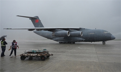
China's Ministry of Foreign Affairs said that while urgently carrying out rescue and relief efforts at home, China reached out to Nepal at the earliest opportunity to offer assistance and support Nepal's emergency disaster response. China has shared with Nepal important information, including imagery of the affected areas, satellite and hydrological data, as well as early-warning information on an upstream barrier lake.
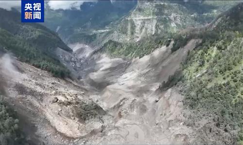
According to the WWA report, this mudslide disaster was triggered by a rock-ice avalanche originating from Mount Langtang Lirang within Nepal. Rather than stemming from a single extreme weather episode, the catastrophe represents a "compound event" shaped jointly by global warming, glacial retreat, permafrost thaw and pre‑existing geological instability.
Observations show unusually warm conditions in the Himalayan region during the 12 months preceding the disaster, supporting enhanced snow and ice melt, with temperatures in the region in July and August of this year being the warmest. Sustained anthropogenic warming has degraded mountain permafrost and melted ice trapped within rock fractures, undermining the mechanical stability of bedrock slopes.
"Glaciers in the region have been losing mass for decades at a rate equivalent to more than half a metre of thinning per year. Since 2010 the rate of recession of the glacier extent has accelerated," the report notes. Glacial melting and retreat alter the stress on adjacent rock faces, increasing slope instability. In addition, the damage to the mountains caused by the 2015 Nepal earthquake also served as an important predisposing factor for this disaster.
The report says that rapidly rising temperatures at a rate beyond the global mean as a result of fossil fuel emissions increase the likelihood and severity of such hazards in the Himalayas. It calls on the international community to reduce fossil‑fuel dependence, while scaling up high‑altitude geological monitoring, risk communication and cross‑border data‑sharing mechanisms.
"This disaster was yet another warning sign of the rapidly changing risk profile in high mountain regions around the world where climate change creates conditions that support the development of similar rock‑ice avalanches or other cascading hazard chains capable of producing extreme flow events that have yet to be fully understood or integrated into risk management," the WWA report stresses.
Ma Jun, director of the Institute of Public and Environmental Affairs, explained that high-altitude cryosphere disasters are becoming the new normal. Traditional disaster prevention and mitigation systems are primarily designed to address torrential rain-induced mudslides at low and medium altitudes and are ill-suited for ice-rock avalanches occurring at altitudes above 5,000 meters.
Warning lead time for such high‑mountain hazards is frequently limited to only a few minutes. Ma argued that two major shifts are required in disaster‑risk governance. First, early‑warning systems should evolve from purely meteorological alerts toward integrated warnings combining meteorological and cryosphere‑evolution data, alongside seismic monitoring. Second, emergency response must move beyond responses to isolated incidents toward systematic risk management across entire hazard chains.
Ma also pointed out that there are significant monitoring blind spots in high-altitude uninhabited areas. It is necessary to build an integrated space-air-ground monitoring network, utilizing technologies such as satellites and drones to address the shortage of monitoring stations in high-risk glacier and glacial lake regions.
He further suggested deploying an Internet of Things-based alarm system capable of triggering alerts within seconds: Once upstream sensors detect vibrations from massive ice avalanches or sudden rises in water levels, downstream border villages should receive immediate, real-time warnings. Equally important is building institutionalized cross‑border disaster-mitigation cooperation frameworks to advance multilateral joint monitoring and early‑warning capacities.
RELATED ARTICLES