China rejects illegal Philippine ‘maritime chart’ covering islands and reefs in Nansha Qundao
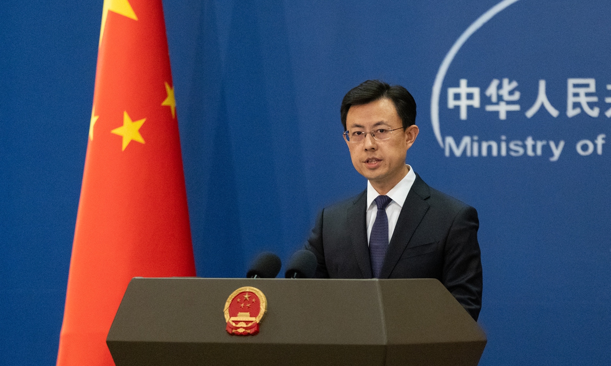
Chinese Foreign Ministry spokesperson Guo Jiakun
China firmly rejects a new Philippine "maritime chart" covering islands and reefs in China's Nansha Qundao, Chinese Foreign Ministry spokesperson Guo Jiakun said on Tuesday, calling Manila's move illegal and invalid and infringes Chinese sovereignty.
At a regular press briefing on Tuesday, the spokesperson was asked about reports that the Philippine National Maritime Council had released an updated "maritime chart" on September 25, covering Zhongye Island, Mahuan Island and other reefs and islands in China's Nansha Qundao.
"Zhongye Island and Mahuan Island are part of China's Nansha Qundao and are Chinese territory. China has indisputable sovereignty over the Nansha Qundao and their adjacent waters," Guo said, noting that the Philippines' territorial boundaries are defined by a series of international treaties and that China's islands in the South China Sea, including the Nansha Qundao, lie outside those boundaries.
Guo said the Philippines had illegally occupied some islands and reefs in China's Nansha Qundao, designated the so-called "Kalayaan Island Group" beyond its territorial boundaries, and issued a so-called "maritime chart" covering islands and reefs in the Nansha Qundao. These actions seriously infringed China's territorial sovereignty, violated the UN Charter and relevant international law, and were illegal and invalid.
China firmly opposes any Philippine action that harms its sovereignty, rights and interests, Guo said, adding that China would continue to take necessary measures to safeguard its territorial sovereignty and maritime rights and interests in the South China Sea.
Global Times
RELATED ARTICLES