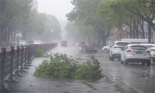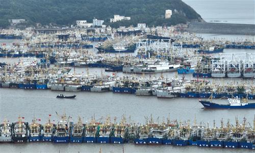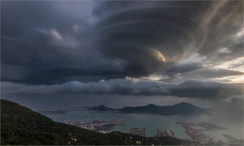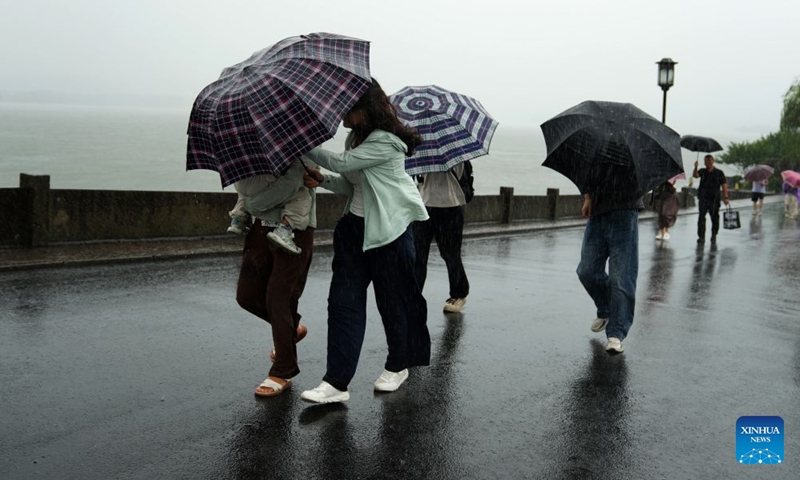
Visitors walk in the rain on the Duanqiao Bridge (Broken Bridge) at the West Lake scenic area in Hangzhou, east China's Zhejiang Province, Aug. 9, 2026. China's national observatory on Sunday activated a red alert -- the highest level in the country's typhoon warning system -- as Typhoon Dolphin approaches. (Photo: Xinhua)
China issued seven weather and disaster alerts at 6:00 pm on Sunday after Typhoon Dolphin made landfall in Taizhou, East China's Zhejiang Province, including a red typhoon warning, an orange rainstorm warning and a red flash flood warning.
Typhoon Dolphin, the 13th of the year, landed in Taizhou, East China's Zhejiang Province at 5:30 pm on Sunday as a severe typhoon, packing maximum winds of 42 meters per second near its center and a minimum central pressure of 945 hectopascals, according to National Meteorological Center (NMC).
After making landfall, Dolphin continued moving westward. The storm is forecast to gradually weaken as it shifts northwestward at a speed of 15-20 kilometers per hour.
The NMC warned that from Sunday evening to Monday evening, heavy to torrential rains are expected in multiple parts of provinces and regions including Zhejiang, Shanghai, and Anhui in Eastern China, and Henan, Hubei in Central China, and some other regions in southern China. Some areas in eastern and central Zhejiang, southern Anhui and other regions could see extreme rainfall of up to 250-420 millimeters.
Authorities also warned of secondary risks, including flash floods, flooding of small and medium-sized rivers, urban waterlogging, severe convective weather and geological disasters. The Ministry of Water Resources and the China Meteorological Administration jointly issued a red flash flood warning, saying parts of eastern and southern Zhejiang face a high risk of flash floods.
The Ministry of Natural Resources and the China Meteorological Administration issued an orange geological disaster risk alert, urging local governments to strengthen monitoring and emergency response, while advising residents in high-risk areas to evacuate according to local arrangements.
The typhoon also brought strong winds, with areas near its path expected to experience winds of up to force 13-14 and gusts reaching force 15-16.
According to statistics, August sees the highest number of typhoons generated and making landfall in China each year. The NMC forecast that in the next 10 days, one to two typhoons may form over the northwestern Pacific or the South China Sea, with a relatively low likelihood of affecting China's coastal areas, per CCTV News.
Global Times
RELATED ARTICLES