Glacier collapse risk remains around Nepal’s Cuojian River impact crater: China’s Ministry of Water Resources
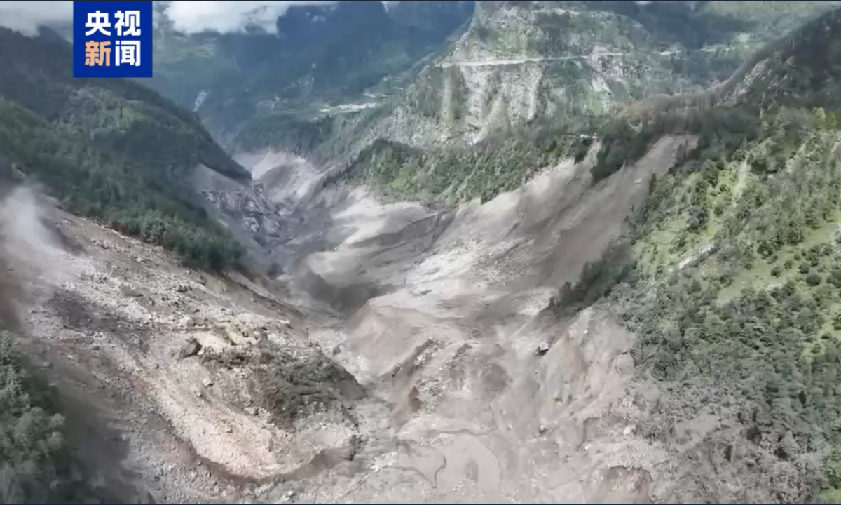
Photo: Screenshot from CCTV
Synthetic aperture radar (SAR) imagery analysis by China’s Ministry of Water Resources on Monday indicated that glaciers around the Cuojian River impact crater in Nepal could still collapse, the Global Times learned from the ministry on Monday.
The ministry held a consultation on Monday to assess risks from the Nepal August 26 mudslide disaster, and coordinate water conservancy support for rescue and relief efforts.
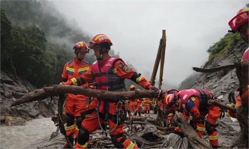
Analysis based on drone and panoramic imagery captured Monday and feedback from the frontline emergency response team shows that the Purepu Tsangpo barrier lake has water flowing through the river channel, the statement said.
According to the analysis of SAR imagery captured at 5:14 am on Monday, the area of the outer boundary of the water body in the impact crater on Nepal’s Cuojian River was approximately 83,000 square meters, down 25,000 square meters from 11 am on Sunday and 14,000 square meters from 7 pm on Sunday. The water volume was estimated at about 650,000 cubic meters, according to the statement.
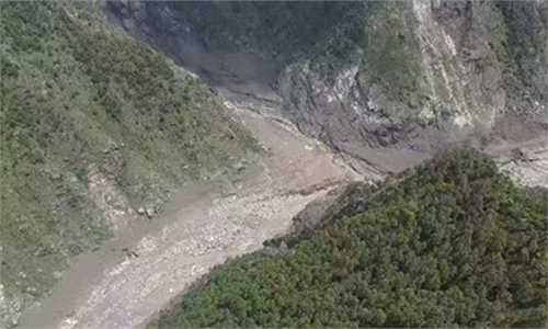
Within 2.5 kilometers downstream of the crater, three small areas of standing water were identified. Three small waterlogged areas were connected to water channels and remained in a flowing state. Glaciers around the Cuojian River impact crater remain at risk of collapse, posing a major risk, the ministry said in the statement.
Besides, satellite imagery found no moraine-dammed lakes larger than 0.1 square kilometers on the Nepalese side of the Gyirong Tsangpo basin upstream of Gyirong Port.
On the Chinese side, there are 14 moraine-dammed lakes larger than 0.1 square kilometers, including 11 in the Donglin Tsangpo River and its tributaries, one more than identified in the previous day’s survey, and three in the Gyirong Tsangpo River and its tributaries.
Using the lakes’ natural conditions and downstream settlements and infrastructure as key factors, researchers classified 10 of the 14 identified moraine-dammed lakes as high-risk and four as medium- to low-risk. All 14 have shown little change in surface area over the past month.
Drone footage on Monday morning showed multiple landslide masses along both banks within 3 kilometers downstream of the former Purepu Tsangpo barrier lake. Although water is currently flowing through the channel, further landslides could create a new barrier lake.
On Monday, a 14-member team from the ministry conducted emergency hydrological monitoring and survey potential sites for monitoring station installations along Purepu Tsangpo, Donglin Tsangpo and Gyirong Tsangpo rivers.
At 9 am on Monday, the estimated flow rate at Gyirong Port was 125 cubic meters per second, providing monitoring and early warning data for downstream rescue teams, per the statement.
RELATED ARTICLES