High-altitude glacier collapse in Nepal triggers mudslide disaster in China’s Xizang: expert
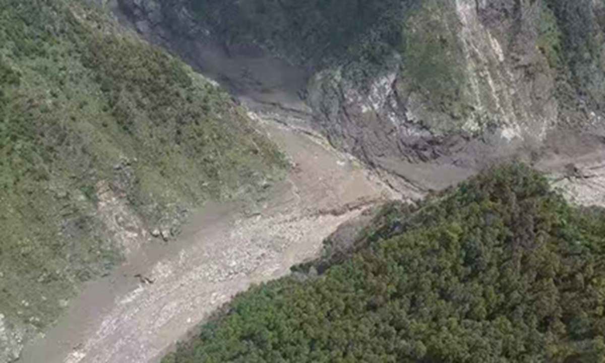
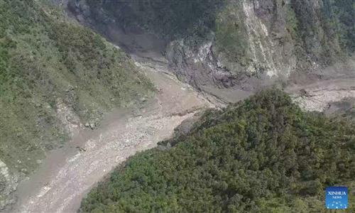
The mudslide disaster site in Xigaze City, Southwest China's Xizang Autonomous Region Photo: Xinhua
A mudslide disaster that struck Gyirong Port in Xigaze City, Southwest China's Xizang Autonomous Region on Wednesday, causing three dead and 558 missing as of Thursday, was triggered by a high-altitude ice avalanche in Nepal, according an expert from China's Ministry of Natural Resources, the Xinhua News Agency reported on Thursday.
At around 10:30 am on Wednesday, a mudslide on the Nepal side caused major casualties and left people missing at Gyirong Port in Gyirong County in Xizang.
An expert from the ministry's geological disaster investigation and monitoring center explained that the ice avalanche from a high-altitude glacier rapidly traveled downhill, picking up glacial debris along its path and developing into a high-speed debris flow. The flow then entered the Donglin Tsangpo River , eventually striking infrastructure at Gyirong Port before continuing downstream toward Nepal.
"This disaster was caused by a debris flow triggered by an ice avalanche," said Guo Zhaocheng, director of the geological disaster investigation and monitoring center at the China aero geophysical survey and remote sensing center for natural resources.
"Specifically, a high-altitude ice avalanche collapsed from the mountainside and, as it moved at high speed, entrained glacial debris along the channel, forming a fast-moving debris flow. It then traveled along the channel, evolved into a mudslide, hit port facilities and areas abroad, and continued moving toward Nepal," Guo said.
Such incidents have occurred in the Qinghai-Xizang Plateau region in the past, but they are relatively rare, Guo noted. Compared with glacial lake outburst floods, this type of disaster can generate greater impact forces and travel farther distances.
According to the People's Daily, the disaster that struck Gyirong Port on Wednesday was not caused by a glacial lake outburst, as some had speculated, but was instead a chain disaster that began with a high-altitude ice avalanche and evolved into a high-speed debris flow before hitting the port, Guo said.
High-resolution satellite imagery taken before and after the disaster shows that a high-altitude ice avalanche occurred in the upper reaches of Chhochen Khola river, a tributary in the upper reaches of the Lhende Khola river, on the Nepalese side upstream of Gyirong Port.
"More precisely, this was a chain disaster involving the sequential evolution of a 'high-altitude ice avalanche — high-speed debris flow — mudslide,'" Guo said. The disaster did not suddenly originate near the port, but began in a high-altitude glacial area upstream and was transmitted and amplified downstream along the Chhochen Khola river, Jhambu River and Lhende Khola river.
Guo explained that the ice avalanche itself carries substantial gravitational potential energy. As it rapidly descends, it scours the channel bed and erodes the banks, continuously entraining loose rocks, soil and glacial debris along its path. As the amount of material increases, so does the destructive force. The steep terrain acts as a natural "accelerator," allowing the disaster mass to travel long distances at high speeds, the People's Daily reported.
A glacial lake outburst mainly occurs when water in a glacial lake is suddenly released following the failure of a dam, resulting in flooding. A high-altitude ice avalanche, by contrast, occurs when a glacier suddenly collapses from a steep mountainside and can develop into a high-speed debris flow.
"Water flows and ice-avalanche debris flows differ in density, speed and impact," Guo said. The high-speed debris flow contains large amounts of ice, rocks and sediment. It not only generates powerful impact forces due to its high speedbut also continuously scours and entrains materials along their path. Given the terrain and source-material conditions in this disaster, their capacity to impact, bury and block river channels was particularly significant, per People's Daily.
This means that the occurrence of a disaster in a glacier-covered area alone is not sufficient to simply classify it as a "glacial lake outburst flood." Determining whether a glacial lake has changed, where the ice mass originated, how materials moved through the channel and what route the disaster mass followed requires comprehensive analysis of pre- and post-disaster satellite imagery, topographic data and field investigations.
Current assessments suggest that only about seven minutes may have elapsed between the occurrence of the ice-avalanche debris flow and its arrival at the port. Such a short window highlights the difficulty of identifying and providing early warnings for high-altitude, long-distance, chain disasters.
"The Himalayas have complex geology and steep terrain, while Gyirong Valley is also affected by glaciers, glacial lakes and climate change," Guo said, noting that the disaster resulted from multiple factors.
The high elevation, deep valleys and steep slopes upstream enabled the ice avalanche to move rapidly. Abundant glacial debris, rocks and soil were swept into the flow, rapidly expanding its destructive force. Meanwhile, glacier movement, melting, cracking and local instability can affect ice stability, while ongoing rainfall increases water flow and the risk of secondary disasters such as mudslides, landslides and the failure of upstream impounded water, per the report.
According to estimates, the debris flow triggered by the ice avalanche that caused the mudslide that hit Gyirong around 50 meters per second. It moved so rapidly that there was virtually no time to react, while its impact extended more than 20 kilometers, resulting in severe losses, according to the expert.
"Therefore, in disaster prevention and mitigation efforts on the Qinghai-Xizang Plateau, we need to prepare for extreme scenarios while fully considering these complex situations," Guo said.
Following the mudslide disaster, a significant barrier lake has formed near the confluence of the Chhochen Khola and Purepu Tsangpo rivers.
As of the morning of Thursday, the reservoir's water storage was estimated at around 2 million cubic meters. According to forecasts, rainfall is expected to bring approximately 3 million cubic meters of additional inflow into the barrier lake over the next three days.
The risk of a breach is high, potentially causing further damage to Gyirong Port and downstream areas along the river, according to Xinhua.
Reporters visited several hotels in Gyirong Town and found that most tourists had begun leaving the town gradually on Thursday morning. The town is a major land gateway for travelers going between Kathmandu and China's Xizang.
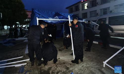
Based on tourists' individual travel arrangements, a total of 555 affected visitors have been evacuated and relocated with assistance from local cultural and tourism authorities and other relevant departments.
No tourists remain stranded, and all 499 affected people from Gyirong county have been properly resettled, the Global Times learned from the local authority of Xigaze.
Global Times
RELATED ARTICLES