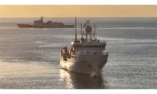
China’s Ministry of Natural Resources conducts comprehensive marine geophysical survey in waters east of Taiwan island
Fundamental seafloor environment data collected
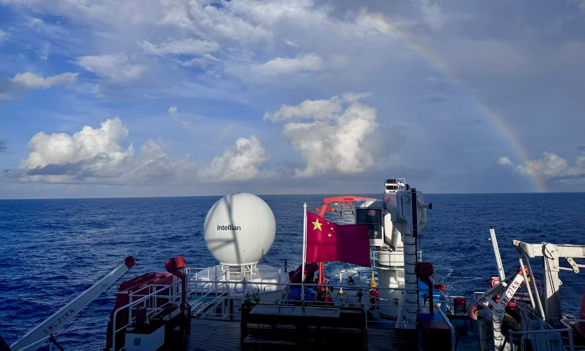
Photo: Screenshot from the People's Daily
A comprehensive marine geophysical survey was conducted in the waters east of China's Taiwan island by the Second Institute of Oceanography under the Ministry of Natural Resources (MNR) between August 10 and 31 to gain a comprehensive understanding of the basic geological and seafloor tectonic characteristics of the waters under China's jurisdiction and to support natural resources management and the development of a "one map" system for territorial spatial planning, the People's Daily reported on Thursday.The survey employed simultaneous, multidisciplinary methods, using technologies including multibeam sonar, multichannel seismic surveys, ocean-bottom seismic surveys, and gravity and magnetic measurements to collect fundamental data on the seafloor environment, including seabed topography, sedimentary strata, deep geological structures, and geophysical fields, according to the report.
This basic seafloor environmental data will support research into the geological and geophysical characteristics of the seabed in the waters concerned. It also provides valuable data for geological research into seafloor sediments, tectonic structures, deep crustal architecture, and geodynamic evolution in the waters east of Taiwan island. In addition, the data provides a scientific basis for China's comprehensive management of the waters under its jurisdiction in the region, according to the People's Daily.
According to Zhao Bi, senior engineer at the Hubei Institute of Geosciences and chief expert of paleontological fossils at the Hubei Geological Bureau, the main purpose of this survey is to better understand the major geological structures of the Taiwan Straits, the structures of geological blocks formed during different periods and their relationships with one another, as well as the composition of the seabed.
The Taiwan Straits contain sediments deposited during many different geological periods, which are expected to contain biological remains from different eras. The survey will also help improve understanding of marine resources in the area, including both biological and mineral resources. In addition, it has certain diplomatic and military significance, Zhao told the Global Times.
According to Zhao, in academic circles, researchers from both the Chinese mainland and the island of Taiwan have previously produced a substantial body of research on the waters.
In addition to the survey on seabed geology in the waters east of Taiwan island, the Chinese research vessel Xiangyanghong 22, operated by the East China Sea Bureau of the MNR, also conducted a marine environmental survey in the area between June 16 and 18, aiming to gain a comprehensive understanding of the natural ecological conditions in waters under China's jurisdiction and support marine ecological conservation, according to the MNR.
The survey employed simultaneous multidisciplinary methods to collect data on environmental DNA in seawater, birds, whales and dolphins, marine chemistry, and hydrology and meteorology. The data will lay the groundwork for a better understanding of key habitats in the water area and for assessing ecosystem health, while providing a scientific basis for marine biodiversity conservation.
In addition to the MNR surveys, the Lanhai 201 scientific survey vessel operated by the East China Sea Fisheries Research Institute under the Chinese Academy of Fishery Sciences conducted a fishery resources survey in waters east of China's Taiwan island from July 17 to 23 to gain a comprehensive understanding of fishery resources in China's jurisdictional waters and support the conservation and sustainable development of marine fishery resources, China's CCTV News reported on July 23, citing the Ministry of Agriculture and Rural Affairs.
According to a statement released by the ministry, the collected biological samples of fish, environmental DNA samples, the basic data on fisheries acoustics, hydrology, and meteorology are expected to lay a foundation for a systematic understanding of fishery resources in the region and provide scientific support for fisheries conservation, management, and the sustainable development of marine fisheries, according to the CCTV News report.
According to Chen Xinjun, a professor from Shanghai Ocean University, as the waters east of the island of Taiwan provide important spawning grounds for cephalopods and tuna species, the fishery survey will help us better understand the life cycles of key fishery resources. The fisheries resource surveys combined with other scientific surveys such as the marine geophysical survey in these waters will help establish a comprehensive systematic scientific investigation.
In addition, Chinese experts also noted that since conducting scientific surveys in the waters east of Taiwan island first requires having jurisdiction over the area, the surveys not only underscore China's sovereignty claims over the waters, but also serve as a countermeasure against the so-called "maritime boundary delimitation talks" by Japan and the Philippines.
RELATED ARTICLES